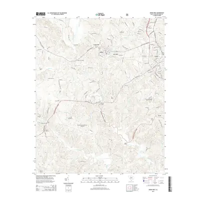
2014 Map of Union West
USGS Topo · Published 2014About this map
Sumter National Forest dominates the southern reaches of this Union County landscape, where the Tyger River and Fairforest Creek converge. The topography is defined by these major waterways and their many tributaries, including Mitchell Cr and Buffalo Cr, which once powered the region's early agrarian and textile industries. The settlement of Buffalo sits at a crossroads near Tempie Hill, anchored by its namesake Buffalo Cem. For family historians, this 2014 survey is particularly rich with burial sites, showing numerous family and community plots such as Palmer Cem, Padgetts Creek Cem, and Sardis Cem. Modern infrastructure like the Union County Airport, also known as Troy Shelton Field, contrasts with older landmarks like Bobos Ford and Mud Bridge, illustrating how transportation networks have evolved along these South Carolina river corridors.
Find a feature on this map
121 named features on this map. Tap any name to fly to it.
Don’t see what you’re looking for? This feature index may not catch every label — zoom into the map to look around manually.
Map Details
Editions of this 2014 Union West Map
This is the sole edition of this map. No revisions or reprints were ever made.
Other maps of this area

1941 · Spartanburg
USGS Topo · 1:250,000

1947 · Spartanburg
USGS Topo · 1:62,500

1949 · Spartanburg
USGS Topo · 1:62,500

1953 · Spartanburg
USGS Topo · 1:250,000

1960 · Spartanburg
USGS Topo · 1:250,000

1963 · Spartanburg
USGS Topo · 1:250,000

1964 · Spartanburg
USGS Topo · 1:250,000

1969 · Cross Anchor
USGS Topo · 1:24,000

1969 · Union West
USGS Topo · 1:24,000

1969 · Sedalia
USGS Topo · 1:24,000