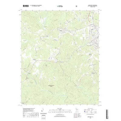
2020 Map of Union West
USGS Topo · Published 2020About this map
The Sumter National Forest defines the southwestern portion of this landscape, where the Tyger River and Fairforest Creek converge. This area is historically significant for its dense concentration of family and church burial grounds, including the Lower Fairforest Baptist Church Graveyard and the Sardis United Methodist Church Graveyard. These sites, along with others like the Old Lower Fairforest Cemetery and Buffalo Cem, serve as critical markers for genealogists tracing early Upstate South Carolina lineages.
Find a feature on this map
111 named features on this map. Tap any name to fly to it.
Don’t see what you’re looking for? This feature index may not catch every label — zoom into the map to look around manually.
Map Details
Editions of this 2020 Union West Map
This is the sole edition of this map. No revisions or reprints were ever made.
Other maps of this area

1941 · Spartanburg
USGS Topo · 1:250,000

1947 · Spartanburg
USGS Topo · 1:62,500

1949 · Spartanburg
USGS Topo · 1:62,500

1953 · Spartanburg
USGS Topo · 1:250,000

1960 · Spartanburg
USGS Topo · 1:250,000

1963 · Spartanburg
USGS Topo · 1:250,000

1964 · Spartanburg
USGS Topo · 1:250,000

1969 · Cross Anchor
USGS Topo · 1:24,000

1969 · Union West
USGS Topo · 1:24,000

1969 · Sedalia
USGS Topo · 1:24,000