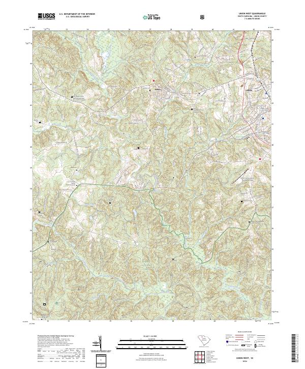
2024 Map of Union West
USGS Topo · Published 2024About this map
The Union county seat and the textile-rooted community of Buffalo anchor this landscape along the drainage of Fairforest Creek. This modern survey reveals a dense network of family and community history preserved in dozens of small graveyards and church grounds, including the Rice Chapel African Methodist Episcopal Zion Church Graveyard and the Sardis United Methodist Church Graveyard. These landmarks are set against the backdrop of the Summer National Forest, where the terrain drops toward the Tyger River and the Fairforest Shoal.
Find a feature on this map
109 named features on this map. Tap any name to fly to it.
Don’t see what you’re looking for? This feature index may not catch every label — zoom into the map to look around manually.
Map Details
Editions of this 2024 Union West Map
This is the sole edition of this map. No revisions or reprints were ever made.
Other maps of this area

1941 · Spartanburg
USGS Topo · 1:250,000

1947 · Spartanburg
USGS Topo · 1:62,500

1949 · Spartanburg
USGS Topo · 1:62,500

1953 · Spartanburg
USGS Topo · 1:250,000

1960 · Spartanburg
USGS Topo · 1:250,000

1963 · Spartanburg
USGS Topo · 1:250,000

1964 · Spartanburg
USGS Topo · 1:250,000

1969 · Cross Anchor
USGS Topo · 1:24,000

1969 · Union West
USGS Topo · 1:24,000

1969 · Sedalia
USGS Topo · 1:24,000