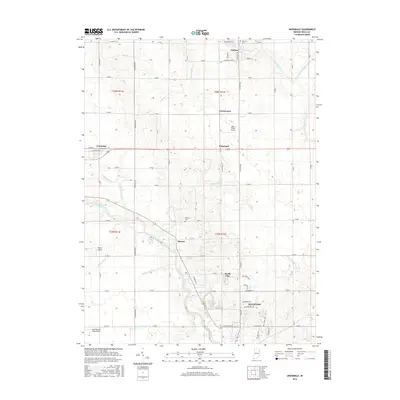
2016 Map of Uniondale
USGS Topo · Published 2016About this map
The Wabash River meanders through the heart of this landscape, cutting a diagonal path past the community of Murray toward the northern edge of Bluffton. This portion of Wells County exhibits a transition from the agricultural grid to suburban and industrial development, particularly around the northern reaches of Ossian and the manufacturing corridor along Industrial Pkwy. The map documents a high density of aviation landmarks for a rural area, including Skip's Place Airport, Mayer Airport, and the interestingly named Grandlienard-Hogg Airport.
Find a feature on this map
63 named features on this map. Tap any name to fly to it.
Don’t see what you’re looking for? This feature index may not catch every label — zoom into the map to look around manually.
Map Details
Editions of this 2016 Uniondale Map
This is the sole edition of this map. No revisions or reprints were ever made.
Other maps of this area

1953 · Muncie
USGS Topo · 1:250,000

1955 · Markle
USGS Topo · 1:24,000

1956 · Muncie
USGS Topo · 1:250,000
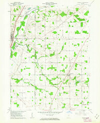
1961 · Zanesville
USGS Topo · 1:24,000

1962 · Poe
USGS Topo · 1:24,000

1962 · Uniondale
USGS Topo · 1:24,000

1962 · Ossian
USGS Topo · 1:24,000

1962 · Liberty Center
USGS Topo · 1:24,000

1962 · Preble
USGS Topo · 1:24,000

1962 · Linn Grove
USGS Topo · 1:24,000