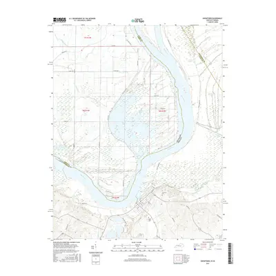
2016 Map of Uniontown
USGS Topo · Published 2016About this map
The Ohio River meanders across this borderland landscape where Kentucky and Indiana meet, shaping a complex network of wetlands and backwaters. This survey highlights the intricate hydrology of the region, where remnant oxbows and seasonal drainages like Hovey Lake, Pirogue Slough, and Little Pitcher Lake define the terrain north of the river. The town of Uniontown sits on the southern bank, situated where the high ground meets the floodplain of Highland Creek.
Find a feature on this map
53 named features on this map. Tap any name to fly to it.
Don’t see what you’re looking for? This feature index may not catch every label — zoom into the map to look around manually.
Map Details
Editions of this 2016 Uniontown Map
This is the sole edition of this map. No revisions or reprints were ever made.
Other maps of this area
1905 · New Haven
USGS Topo · 1:62,500
1906 · New Haven
USGS Topo · 1:62,500
1907 · Morganfield
USGS Topo · 1:62,500
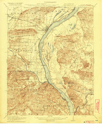
1916 · Shawneetown
USGS Topo · 1:62,500
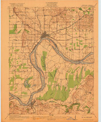
1917 · Uniontown
USGS Topo · 1:62,500
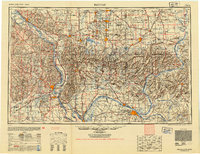
1949 · Paducah
USGS Topo · 1:250,000
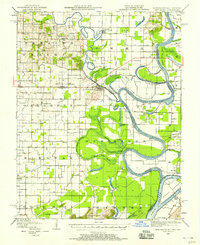
1949 · New Haven
USGS Topo · 1:62,500
1949 · Morganfield
USGS Topo · 1:24,000
1950 · Paducah
USGS Topo · 1:250,000
1951 · Waverly
USGS Topo · 1:24,000