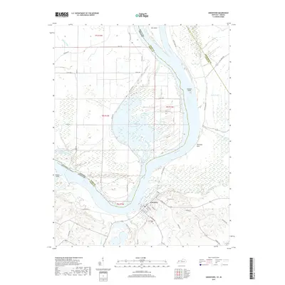
2019 Map of Uniontown
USGS Topo · Published 2019About this map
Uniontown sits at a critical bend of the Ohio River in Union County, where the waterway defines the winding border between Kentucky and Indiana. This riverine landscape is dominated by complex hydrography, including extensive sloughs like Grassy Slough and Rattle Slough, and significant islands such as Slim Island and Wabash Island. The town's grid is preserved in detail, showing streets from Main St to Sigsbee St, along with the Uniontown Cem and Saint Agnes Cem on the town's eastern outskirts. South of the river, Highland Creek and Dry Fork drain the hills, while across the water in Indiana, the Hovey Lake area and Pirogue Slough reveal a low-lying floodplain characterized by wetlands and agricultural tracts. The map illustrates how the river's path, including Mississippi Bend, has historically shaped local commerce and settlement patterns.
Find a feature on this map
53 named features on this map. Tap any name to fly to it.
Don’t see what you’re looking for? This feature index may not catch every label — zoom into the map to look around manually.
Map Details
Editions of this 2019 Uniontown Map
This is the sole edition of this map. No revisions or reprints were ever made.
Other maps of this area
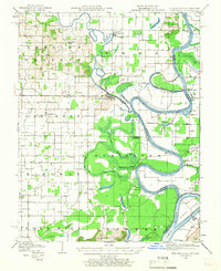
1905 · New Haven
USGS Topo · 1:62,500
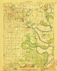
1906 · New Haven
USGS Topo · 1:62,500
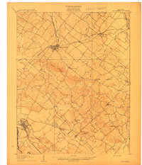
1907 · Morganfield
USGS Topo · 1:62,500
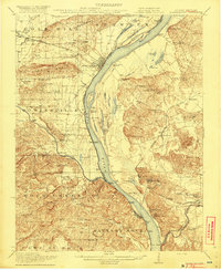
1916 · Shawneetown
USGS Topo · 1:62,500
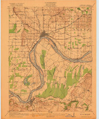
1917 · Uniontown
USGS Topo · 1:62,500
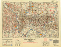
1949 · Paducah
USGS Topo · 1:250,000
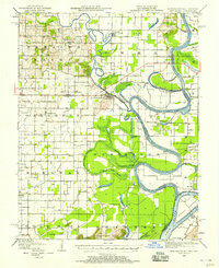
1949 · New Haven
USGS Topo · 1:62,500
1949 · Morganfield
USGS Topo · 1:24,000
1950 · Paducah
USGS Topo · 1:250,000
1951 · Waverly
USGS Topo · 1:24,000