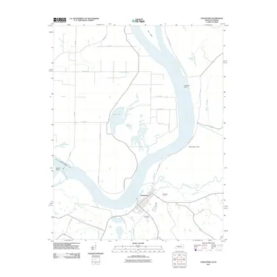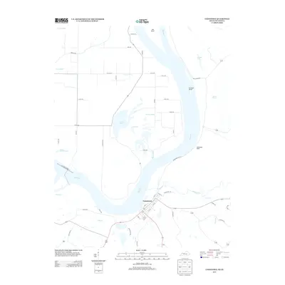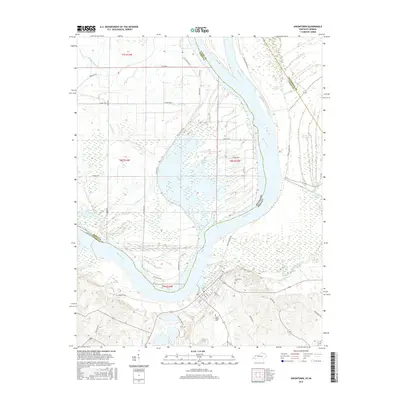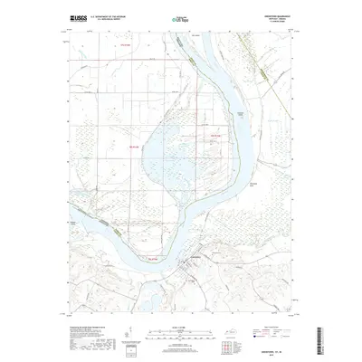
2022 Map of Uniontown
USGS Topo · Published 2022About this map
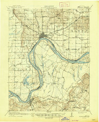
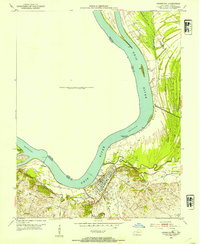
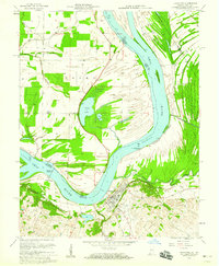
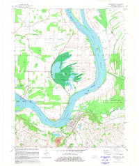
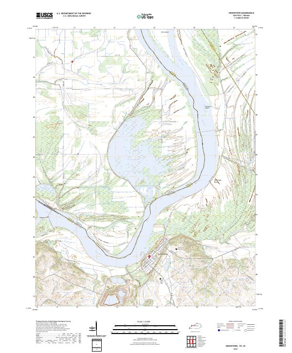
Uniontown sits at a strategic bend where the Ohio River forms the state boundary between Kentucky and Indiana. This landscape is defined by the complex hydrology of the river valley, featuring numerous secondary channels and wetlands such as Hovey Lake, Pirogue Slough, and Grassy Slough. The intricate network of waterways like Highland Creek and Lost Cr highlights the low-lying, alluvial nature of the terrain. Large river features including Slim Island, Towhead Island, and Wabash Island illustrate the shifting navigable path of the river over time.
Find a feature on this map
66 named features on this map. Tap any name to fly to it.
Don’t see what you’re looking for? This feature index may not catch every label — zoom into the map to look around manually.
Map Details
Editions of this 2022 Uniontown Map
This is the sole edition of this map. No revisions or reprints were ever made.
Historical Maps of Uniontown Through Time
9 maps found