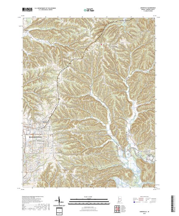
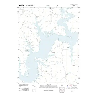
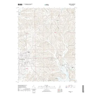
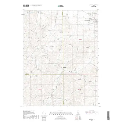
2022 Map of Unionville
USGS Topo · Published 2022About this map
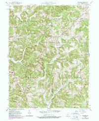
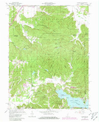
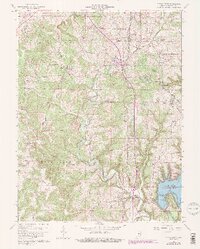
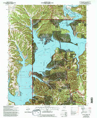
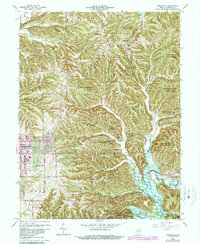
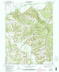
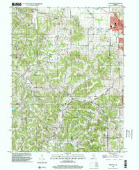
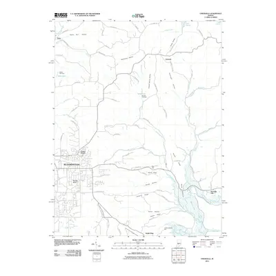
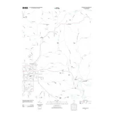
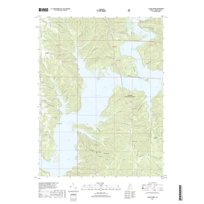
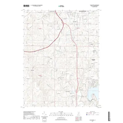
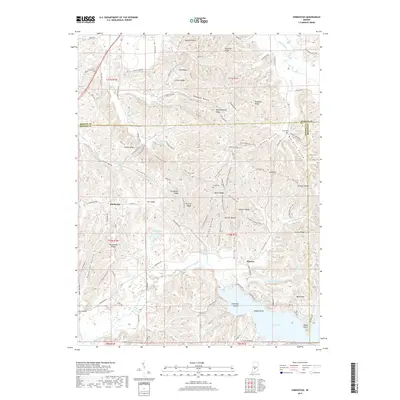
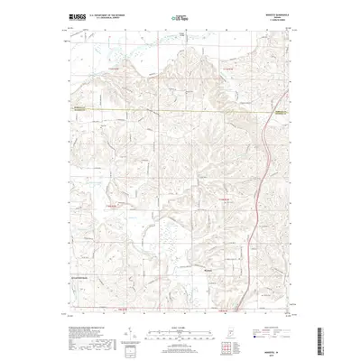
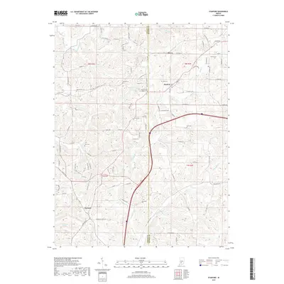
Bloomington serves as the western anchor of this landscape, where the city's residential expansions like Hoosier Acres and Eastern Heights meet the deeply dissected terrain of Monroe County. Moving east from the city, the topography shifts into a dense network of ridges and hollows, such as Bender Ridge and Danny Burr Hollow, leading toward the village of Unionville. This area is defined by its water systems, notably Beanblossom Creek and the southern reaches of Lake Lemon, which carve through the land alongside landmarks like the Devils Backbone. The road network, including E State Road 46 and the historic path of E Old Myers Rd, illustrates how 21st-century infrastructure follows the natural contours of the Indiana uplands. Smaller settlements like Knight Ridge and Dolan remain distinct points of interest for those tracing the development of the region beyond the main urban center.
Find a feature on this map
138 named features on this map. Tap any name to fly to it.
Don’t see what you’re looking for? This feature index may not catch every label — zoom into the map to look around manually.
Map Details
Editions of this 2022 Unionville Map
This is the sole edition of this map. No revisions or reprints were ever made.
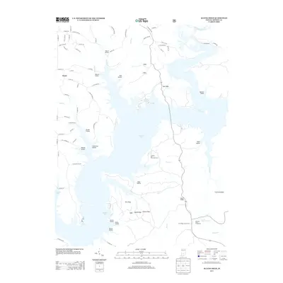
Historical Maps of Bloomington Through Time
54 maps found
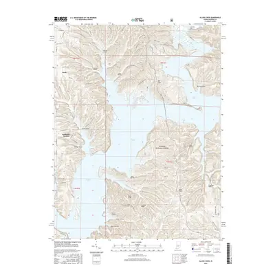
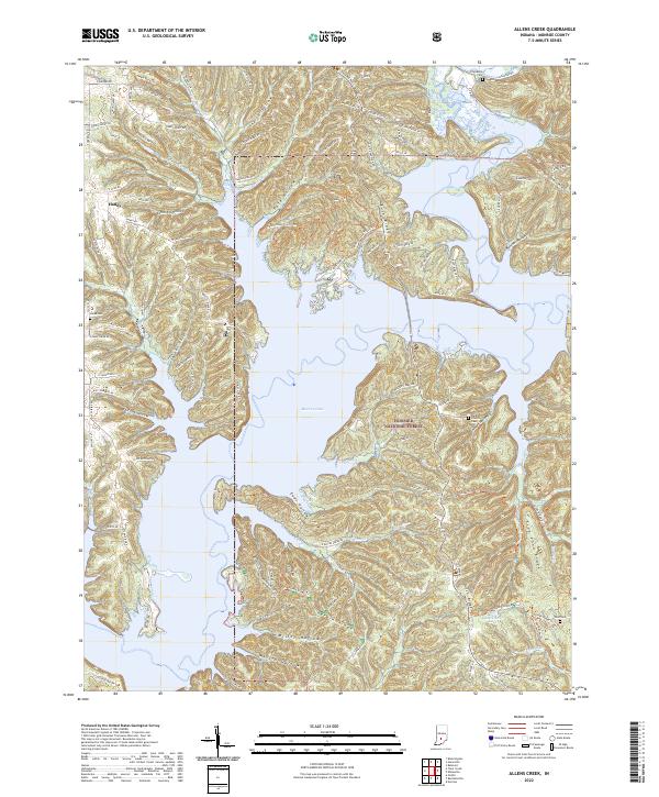
1947 Allens Creek
Monroe County, IN
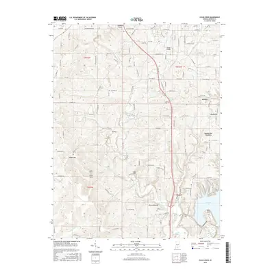
1947 Unionville
Monroe County, IN
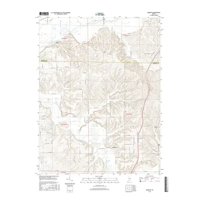
1948 Hindustan
Monroe County, IN

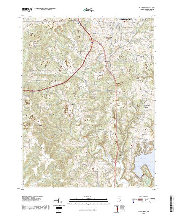
1956 Clear Creek
Monroe County, IN
1956 Stanford
Monroe County, IN
1957 Allens Creek
Monroe County, IN
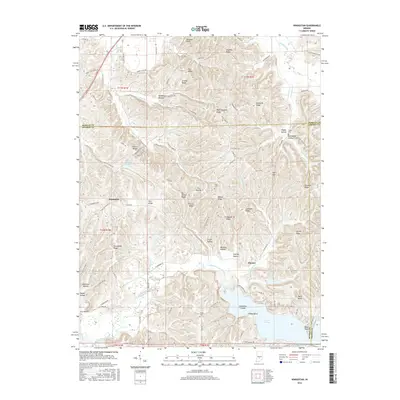
1957 Modesto
Monroe County, IN

1957 Unionville
Monroe County, IN
1957 Whitehall
Monroe County, IN
1961 Hindustan
Monroe County, IN
1965 Clear Creek
Monroe County, IN
1966 Allens Creek
Monroe County, IN
1966 Unionville
Monroe County, IN
1970 Modesto
Monroe County, IN

1998 Hindustan
Monroe County, IN

1998 Modesto
Monroe County, IN

1998 Unionville
Monroe County, IN
1998 Whitehall
Monroe County, IN

1999 Clear Creek
Monroe County, IN
2010 Clear Creek
Monroe County, IN
2010 Hindustan
Monroe County, IN
2010 Modesto
Monroe County, IN
2010 Stanford
Monroe County, IN
2010 Unionville
Monroe County, IN
2010 Whitehall
Monroe County, IN
2011 Allens Creek
Monroe County, IN
2013 Allens Creek
Monroe County, IN
2013 Clear Creek
Monroe County, IN
2013 Hindustan
Monroe County, IN
2013 Modesto
Monroe County, IN
2013 Stanford
Monroe County, IN
2013 Unionville
Monroe County, IN
2013 Whitehall
Monroe County, IN
2016 Allens Creek
Monroe County, IN
2016 Clear Creek
Monroe County, IN
2016 Hindustan
Monroe County, IN
2016 Modesto
Monroe County, IN
2016 Stanford
Monroe County, IN
2016 Unionville
Monroe County, IN
2016 Whitehall
Monroe County, IN
2019 Allens Creek
Monroe County, IN
2019 Clear Creek
Monroe County, IN
2019 Hindustan
Monroe County, IN
2019 Modesto
Monroe County, IN
2019 Stanford
Monroe County, IN
2019 Unionville
Monroe County, IN
2019 Whitehall
Monroe County, IN
2022 Allens Creek
Monroe County, IN
2022 Clear Creek
Monroe County, IN
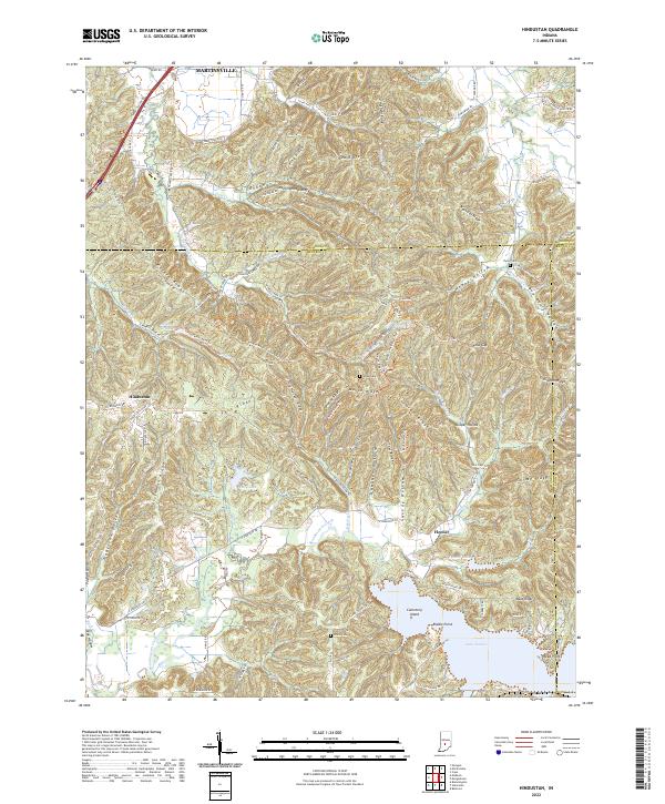
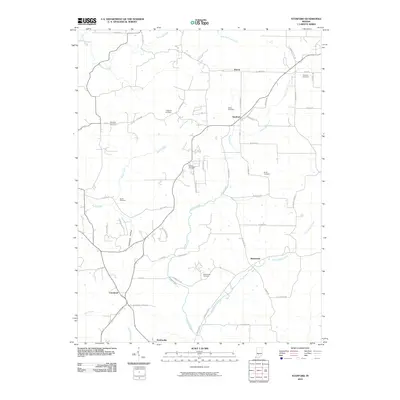
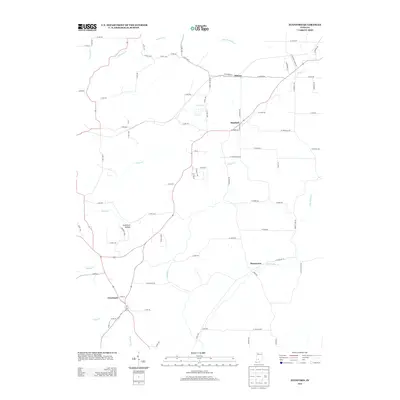
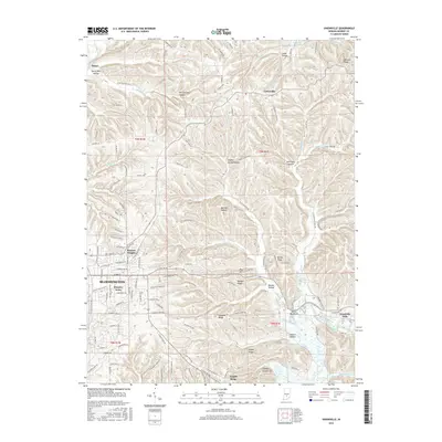
2022 Hindustan
Monroe County, IN

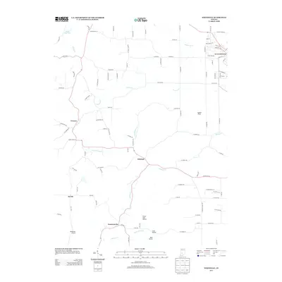
2022 Modesto
Monroe County, IN
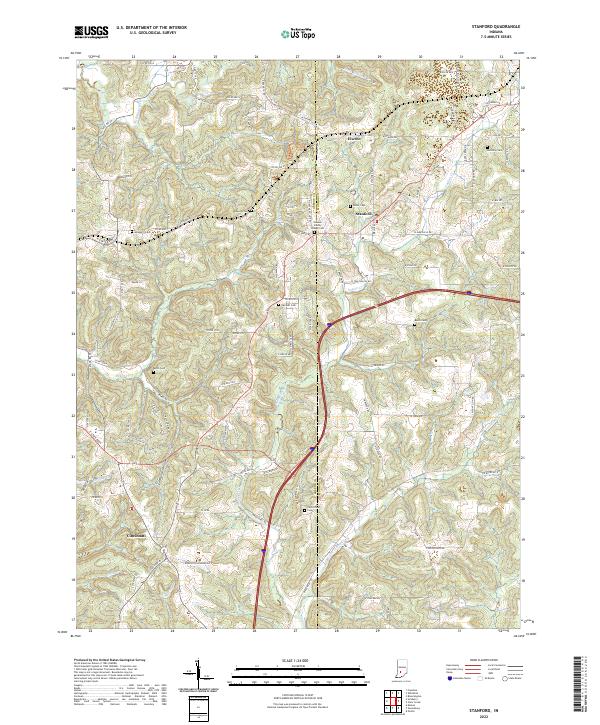
2022 Stanford
Monroe County, IN
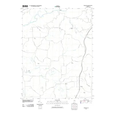
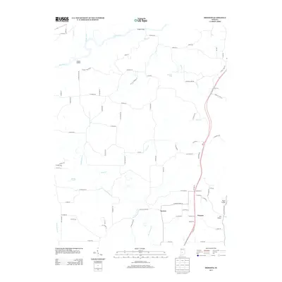
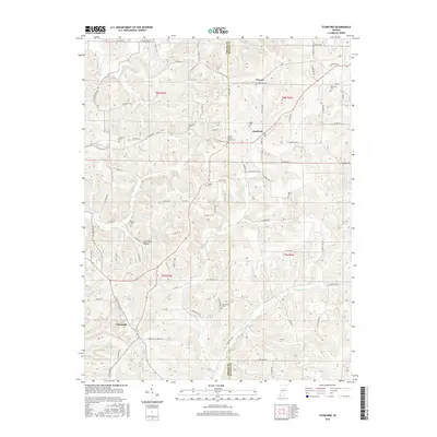
2022 Unionville
Monroe County, IN
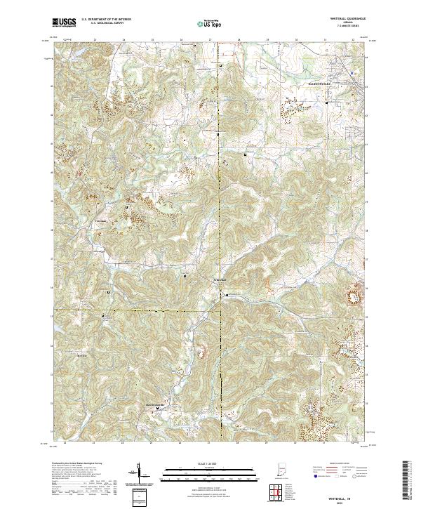
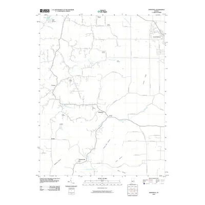
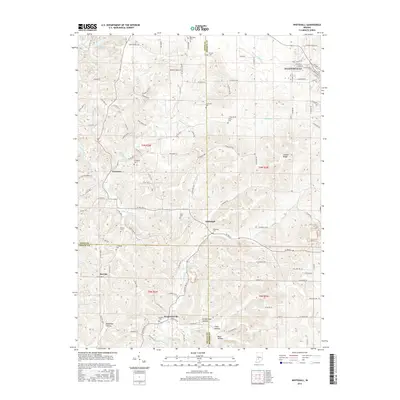
2022 Whitehall
Monroe County, IN