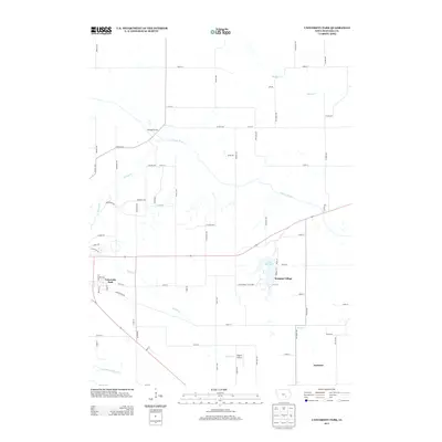
2013 Map of University Park
USGS Topo · Published 2013About this map
University Park anchors the southwestern portion of this Mahaska County landscape, where residential blocks transition into a network of section-line roads and riparian corridors. The S Skunk River meanders across the central terrain, complemented by the waters of Middle Cr and Spring Cr. Public recreation is a prominent feature of the area, centered on the shores of Lake Keomah and the surrounding Lake Keomah State Park. To the east, the small settlement of Keomah Village sits near the park boundary, while the locality of Excelsior is situated further southeast along Snyder Cr. Transportation and aviation history are represented by the presence of Edgren Airport and the well-defined corridor of Co Hwy-G39, reflecting the agricultural and community development of eastern Iowa in the early 21st century.
Find a feature on this map
68 named features on this map. Tap any name to fly to it.
Don’t see what you’re looking for? This feature index may not catch every label — zoom into the map to look around manually.
Map Details
Editions of this 2013 University Park Map
This is the sole edition of this map. No revisions or reprints were ever made.
Other maps of this area

1954 · Des Moines
USGS Topo · 1:250,000

1956 · Des Moines
USGS Topo · 1:250,000

1956 · Ottumwa North
USGS Topo · 1:62,500

1957 · Des Moines
USGS Topo · 1:250,000

1965 · Gibson
USGS Topo · 1:24,000

1965 · Rose Hill
USGS Topo · 1:24,000

1968 · University Park
USGS Topo · 1:24,000

1968 · Oskaloosa
USGS Topo · 1:24,000

1968 · Kirkville
USGS Topo · 1:24,000

1968 · Eddyville
USGS Topo · 1:24,000