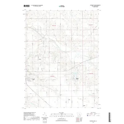
2018 Map of University Park
USGS Topo · Published 2018About this map
University Park and Keomah Village anchor this portion of Mahaska County, where the agricultural grid meets the winding course of the South Skunk River. This landscape is defined by its water management and early 21st-century infrastructure, featuring Lake Keomah as a central recreational landmark and the Edgren Airport to the south. The area maintains a high density of small family and community burial grounds, including Wymore Cem, Friends Cem, and McDonald Cem, which offer significant touchpoints for genealogical research.
Find a feature on this map
65 named features on this map. Tap any name to fly to it.
Don’t see what you’re looking for? This feature index may not catch every label — zoom into the map to look around manually.
Map Details
Editions of this 2018 University Park Map
This is the sole edition of this map. No revisions or reprints were ever made.
Other maps of this area

1954 · Des Moines
USGS Topo · 1:250,000

1956 · Des Moines
USGS Topo · 1:250,000

1956 · Ottumwa North
USGS Topo · 1:62,500

1957 · Des Moines
USGS Topo · 1:250,000

1965 · Gibson
USGS Topo · 1:24,000

1965 · Rose Hill
USGS Topo · 1:24,000

1968 · University Park
USGS Topo · 1:24,000

1968 · Oskaloosa
USGS Topo · 1:24,000

1968 · Kirkville
USGS Topo · 1:24,000

1968 · Eddyville
USGS Topo · 1:24,000