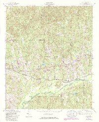
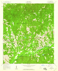
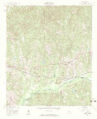
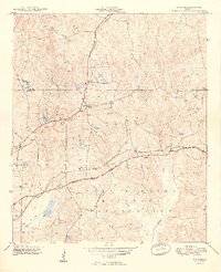
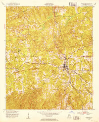
1955 Map of Upatoi
USGS Topo · Published 1986About this map
Upatoi and Box Springs anchor this mid-century look at the borderlands of Muscogee, Talbot, and Marion counties. The landscape is defined by the extensive Fort Benning Military Reservation to the south, while the northern reaches reveal a network of rural communities centered around small houses of worship. Local genealogists will find several notable landmarks, including Mt Pilgrim Ch, Sweet Home Ch, and Mt Paron Ch.
Find a feature on this map
29 named features on this map. Tap any name to fly to it.
Don’t see what you’re looking for? This feature index may not catch every label — zoom into the map to look around manually.
Map Details
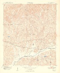
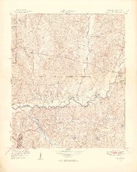
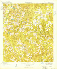
Editions of this 1955 Upatoi Map
3 editions found
Other maps of this area

1907 · Talbotton
USGS Topo · 1:125,000
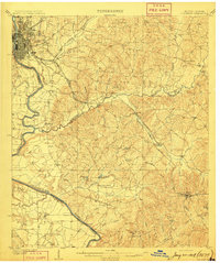
1908 · Columbus
USGS Topo · 1:62,500

1929 · Columbus
USGS Topo · 1:48,000

1947 · Columbus
USGS Topo · 1:62,500
1949 · Midland
USGS Topo · 1:24,000
1949 · Upatoi
USGS Topo · 1:24,000
1949 · Ochillee
USGS Topo · 1:24,000
1949 · Buena Vista NW
USGS Topo · 1:24,000
1950 · Talbotton
USGS Topo · 1:24,000
1950 · Geneva
USGS Topo · 1:24,000