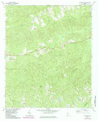
1971 Map of Baldwinville
USGS Topo · Published 1985About this map
Baldwinville and its surrounding rural landscapes in Talbot Co and Taylor Co are defined by a network of small, crossroads settlements and country churches. The map illustrates a social geography centered on places like Po Biddy Crossroads and Poplar Crossroads, where local life branched out along the Po Biddy Road. The terrain is characterized by the drainages of Potters Creek, Richland Creek, and Kimbrough Creek, which create a rolling backdrop for the region's agricultural and spiritual foundations. Notable religious sites like Mt Zion Ch, Fine Level Ch, and Philadelphia Ch are scattered across the landscape, often paired with small family or community burial grounds such as Adams Cem. The presence of the Jumpin J Airfield near Centerville adds a unique mid-century utility to this otherwise traditional Georgia backcountry.
Find a feature on this map
23 named features on this map. Tap any name to fly to it.
Don’t see what you’re looking for? This feature index may not catch every label — zoom into the map to look around manually.
Map Details
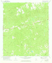
Editions of this 1971 Baldwinville Map
2 editions found
Other maps of this area

1907 · Talbotton
USGS Topo · 1:125,000

1934 · Warm Springs
USGS Topo · 1:62,500

1935 · Thomaston
USGS Topo · 1:48,000

1936 · Warm Springs
USGS Topo · 1:62,500

1939 · Thomaston
USGS Topo · 1:62,500

1950 · Talbotton
USGS Topo · 1:24,000

1950 · Geneva
USGS Topo · 1:24,000

1950 · Talbotton
USGS Topo · 1:62,500

1955 · Talbotton
USGS Topo · 1:24,000
1955 · Geneva
USGS Topo · 1:24,000