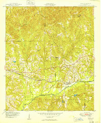
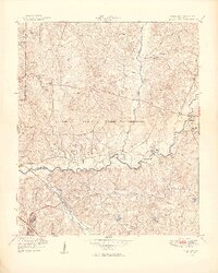
1949 Map of Upatoi
USGS Topo · Published 1949About this map
Fort Benning Military Reservation occupies much of the southern landscape in this late 1940s survey, its northern limit defined by the Boundary Mil. Res. Bdy. and the winding course of Upatoi Creek. This era captures the rural character of the Muscogee and Talbot county line before mid-century expansion, centered on the small settlements of Upatoi and Box Springs. The Central of Georgia railroad provides the primary east-west transport corridor through this dissected terrain, passing near a localized Water tower and several family-named water features. To the north, the landscape is dotted with rural landmarks like Mt Carmel Church and various cemeteries, reflecting the established community patterns of the Georgia backcountry. The drainage network is particularly dense, with Kendall Creek, Baker Creek, and Tar River carving through the hills toward Kings Mill Pond, illustrating the importance of local waterways to the regional topography.
Find a feature on this map
25 named features on this map. Tap any name to fly to it.
Don’t see what you’re looking for? This feature index may not catch every label — zoom into the map to look around manually.
Map Details
Editions of this 1949 Upatoi Map
2 editions found
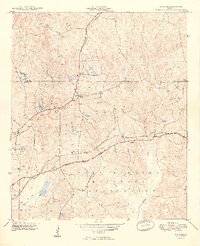
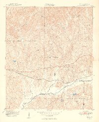
Other maps of this area

1907 · Talbotton
USGS Topo · 1:125,000
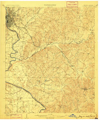
1908 · Columbus
USGS Topo · 1:62,500

1929 · Columbus
USGS Topo · 1:48,000

1947 · Columbus
USGS Topo · 1:62,500
1949 · Midland
USGS Topo · 1:24,000
1949 · Upatoi
USGS Topo · 1:24,000
1949 · Ochillee
USGS Topo · 1:24,000
1949 · Buena Vista NW
USGS Topo · 1:24,000
1950 · Talbotton
USGS Topo · 1:24,000
1950 · Geneva
USGS Topo · 1:24,000