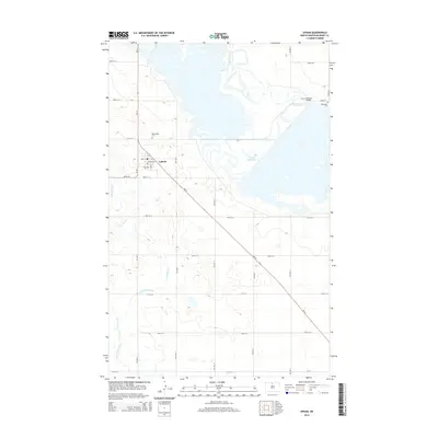
2014 Map of Upham
USGS Topo · Published 2014About this map
Upham serves as the central hub of this North Dakota landscape, where the grid of McHenry County meets the meandering path of the Souris River. The town layout is defined by streets such as Main St and William St, with a central Po anchoring the local community. To the north and east, the geography is dominated by water and wetlands, including the expansive Unit 320 Reservoir and the winding course of Cut Bank Creek. Genealogy researchers will find interest in the documented locations of Bloomfield Cem and Melankton Cem, which sit atop the subtle elevation changes of the prairie. The crossing at Freeman Bridge over the Souris River highlights the essential infrastructure connecting these agricultural lands, while the diagonal path of ND-14 provides a primary transit artery through the region.
Find a feature on this map
24 named features on this map. Tap any name to fly to it.
Don’t see what you’re looking for? This feature index may not catch every label — zoom into the map to look around manually.
Map Details
Editions of this 2014 Upham Map
This is the sole edition of this map. No revisions or reprints were ever made.
Other maps of this area
1949 · Granville NE
USGS Topo · 1:24,000
1949 · Kramer
USGS Topo · 1:24,000
1949 · Bantry
USGS Topo · 1:24,000
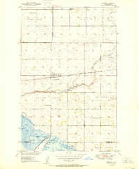
1950 · Kramer
USGS Topo · 1:24,000
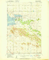
1950 · Upham SE
USGS Topo · 1:24,000
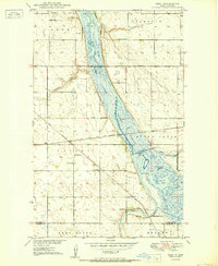
1950 · Deep
USGS Topo · 1:24,000
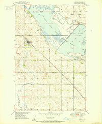
1950 · Upham
USGS Topo · 1:24,000
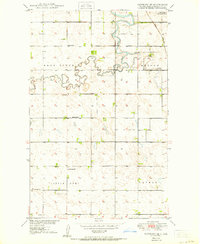
1950 · Newburg SE
USGS Topo · 1:24,000
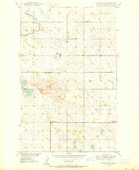
1950 · Bantry NW
USGS Topo · 1:24,000
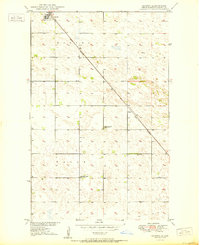
1950 · Bantry
USGS Topo · 1:24,000