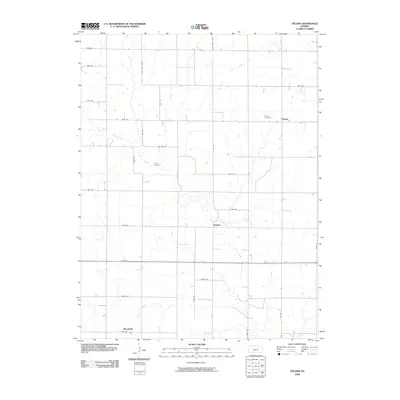
2009 Map of Upland
USGS Topo · Published 2009About this map
Chapman Creek meanders through the heart of this agricultural landscape in eastern Dickinson County, creating a serpentine corridor of natural drainage across a rigid section-line road grid. The settlement of Upland stands as a primary point of reference in the northeast, while the smaller locales of Sutphen and Moonlight are distributed across the central and southern portions of the quadrangle. These small communities are connected by a naming system for rural thoroughfares that includes alphabetically themed paths such as Nova Rd, Oat Rd, Okra Rd, and Quail Rd. For those researching local history, the placement of Liberty Cemetery and Jones Cemetery provides specific geographic markers for early residents of this prairie region, while the numerical road designations like 3000 Ave and 3400 Ave reflect the organized expansion of the Kansas heartland in the early twenty-first century.
Find a feature on this map
31 named features on this map. Tap any name to fly to it.
Don’t see what you’re looking for? This feature index may not catch every label — zoom into the map to look around manually.
Map Details
Editions of this 2009 Upland Map
This is the sole edition of this map. No revisions or reprints were ever made.
Other maps of this area

1886 · Junction City
USGS Topo · 1:125,000

1889 · Junction City
USGS Topo · 1:125,000

1889 · Abilene
USGS Topo · 1:125,000

1889 · Parkerville
USGS Topo · 1:125,000

1891 · Clay Center
USGS Topo · 1:125,000

1894 · Junction City
USGS Topo · 1:125,000

1894 · Abilene
USGS Topo · 1:125,000

1894 · Parkerville
USGS Topo · 1:125,000

1947 · Fort Riley
USGS Topo · 1:62,500

1950 · Alida
USGS Topo · 1:24,000