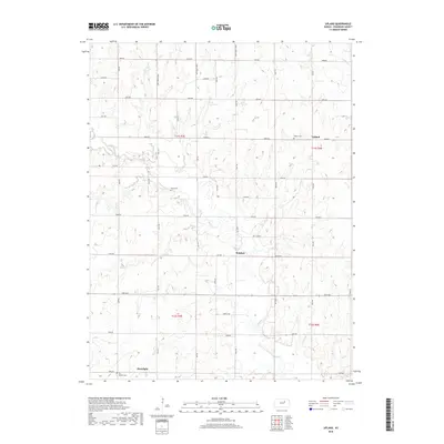
2018 Map of Upland
USGS Topo · Published 2018About this map
Chapman Cr meanders through the heart of this agricultural landscape in Dickinson County, creating a corridor of wetlands and natural terrain that contrasts with the surrounding township-and-range grid. This part of Kansas remains anchored by small rural centers and crossroads, such as the northern settlement of Upland and the southern hamlet of Moonlight. The persistence of local heritage is visible in the distribution of family and community burial grounds, including Liberty Cem, Jones Cem, and Bethel Cem. The map illustrates a meticulously organized road network of avenues and roads, such as 3200 Ave and Nail Rd, which delineate the farm plots and connect isolated outposts like Sutphen. This geography reflects a modern continuation of the region's homesteading roots, where land use is dictated by the drainage of Curtis Cr and the fertile plains between the creek bends.
Find a feature on this map
40 named features on this map. Tap any name to fly to it.
Don’t see what you’re looking for? This feature index may not catch every label — zoom into the map to look around manually.
Map Details
Editions of this 2018 Upland Map
This is the sole edition of this map. No revisions or reprints were ever made.
Other maps of this area
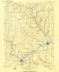
1886 · Junction City
USGS Topo · 1:125,000
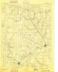
1889 · Junction City
USGS Topo · 1:125,000
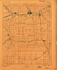
1889 · Abilene
USGS Topo · 1:125,000
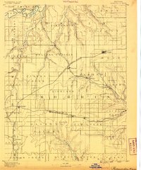
1889 · Parkerville
USGS Topo · 1:125,000
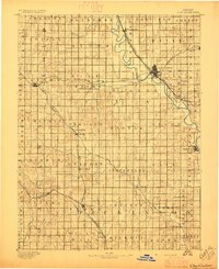
1891 · Clay Center
USGS Topo · 1:125,000
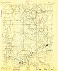
1894 · Junction City
USGS Topo · 1:125,000
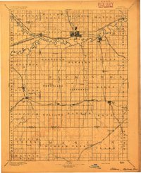
1894 · Abilene
USGS Topo · 1:125,000
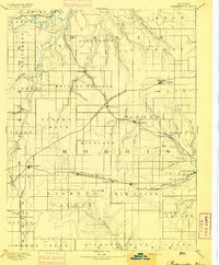
1894 · Parkerville
USGS Topo · 1:125,000
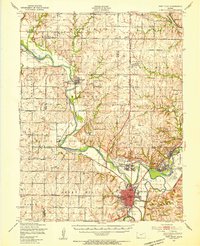
1947 · Fort Riley
USGS Topo · 1:62,500
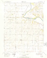
1950 · Alida
USGS Topo · 1:24,000