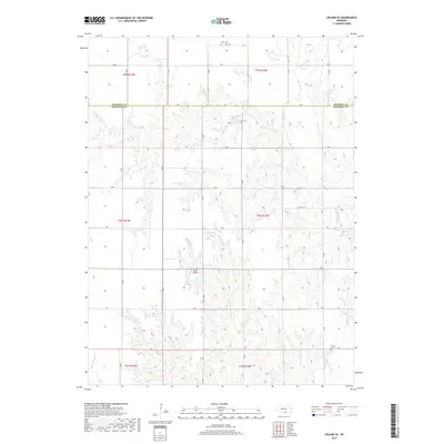
2017 Map of Upland SE
USGS Topo · Published 2017About this map
Nelson Reservoir sits at the northern edge of this agricultural landscape along the border of Kearney and Franklin counties. The terrain is defined by the winding course of the Little Blue River and the branching drainages of the Middle Br Thompson Cr and E Br Thompson Cr. This rural area preserves a classic section-line road grid, including routes like A Rd and T Rd, which negotiate the local topography of the Loess Plains. Small-scale aviation and local genealogy are anchored by specific landmarks such as the Sindt Airport and several historic burial grounds. Sites like Osco Cem and Trinity Cem provide essential geographic points of reference for families tracing their roots in this portion of the Nebraska plains.
Find a feature on this map
23 named features on this map. Tap any name to fly to it.
Don’t see what you’re looking for? This feature index may not catch every label — zoom into the map to look around manually.
Map Details
Editions of this 2017 Upland SE Map
This is the sole edition of this map. No revisions or reprints were ever made.
Other maps of this area
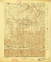
1897 · Red Cloud
USGS Topo · 1:125,000
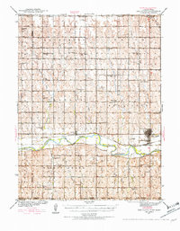
1940 · Red Cloud
USGS Topo · 1:62,500
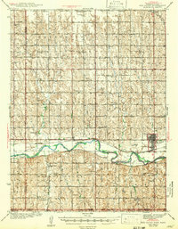
1942 · Red Cloud
USGS Topo · 1:62,500
1955 · Grand Island
USGS Topo · 1:250,000
1957 · Grand Island
USGS Topo · 1:250,000
1958 · Grand Island
USGS Topo · 1:250,000
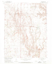
1969 · Upland
USGS Topo · 1:24,000
1969 · Upland SE
USGS Topo · 1:24,000
1969 · Holstein
USGS Topo · 1:24,000
1969 · Campbell
USGS Topo · 1:24,000