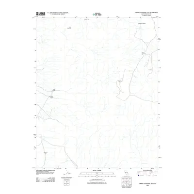
2012 Map of Upper Centennial Flat
USGS Topo · Published 2012About this map
China Lake Naval Weapons Ctr borders the southern portion of this high-altitude desert landscape, marking the intersection of military restricted space and the open Inyo County backcountry. The topography is defined by significant elevation changes between the peaks and the broad, dry basins, such as Joshua Flat in the north and McCloud Flat to the southwest. Water remains the critical resource of this arid region, as evidenced by Upper Centennial Spring and Upper Haiwee Spring. These vital points of moisture likely served as historical landmarks for travelers moving between the drainage of Centennial Canyon and the surrounding heights of Silver Mountain and Pinon Peak. The map provides a clear record of the primitive road network that connects these remote features across the expanse of Upper Centennial Flat.
Find a feature on this map
13 named features on this map. Tap any name to fly to it.
Don’t see what you’re looking for? This feature index may not catch every label — zoom into the map to look around manually.
Map Details
Editions of this 2012 Upper Centennial Flat Map
This is the sole edition of this map. No revisions or reprints were ever made.
Other maps of this area

1908 · Ballarat
USGS Topo · 1:250,000

1913 · Ballarat
USGS Topo · 1:250,000

1948 · Death Valley
USGS Topo · 1:250,000
1950 · Darwin
USGS Topo · 1:62,500
1951 · Darwin
USGS Topo · 1:62,500
1951 · Keeler
USGS Topo · 1:62,500
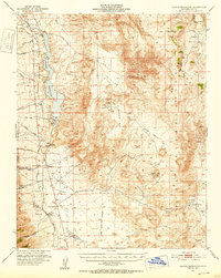
1951 · Haiwee Reservoir
USGS Topo · 1:62,500
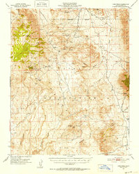
1951 · Coso Peak
USGS Topo · 1:62,500

1954 · Death Valley
USGS Topo · 1:250,000

1956 · Death Valley
USGS Topo · 1:250,000