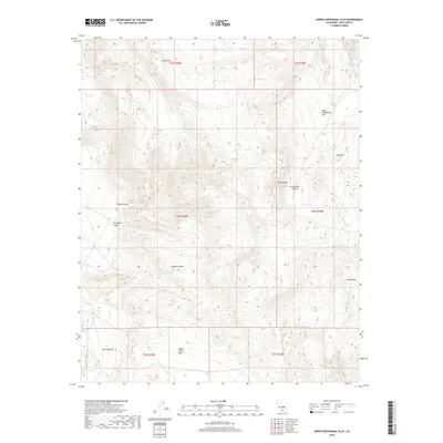
2018 Map of Upper Centennial Flat
USGS Topo · Published 2018About this map
Silver Mtn and the northern reaches of the Coso Range dominate this corner of the California desert, where high-altitude springs provided essential water for early travel and ranching. The terrain transitions from the rocky prominence of Pinon Peak down through deep cuts like Centennial Canyon and Lacey Canyon, leading into the broad basins of Upper Centennial Flat and Upper Cactus Flat. These "flats" represent the characteristically arid landscape of the northern Mojave Desert, defined by massive alluvial fans and isolated water sources like Upper Centennial Spring and Upper Haiwee Spring. The map documents the relationship between these scarce watering points and the network of primitive roads that connect the high mountain peaks to the lower desert floor, reflecting the long history of land use in this isolated part of Inyo County.
Find a feature on this map
19 named features on this map. Tap any name to fly to it.
Don’t see what you’re looking for? This feature index may not catch every label — zoom into the map to look around manually.
Map Details
Editions of this 2018 Upper Centennial Flat Map
This is the sole edition of this map. No revisions or reprints were ever made.
Other maps of this area

1908 · Ballarat
USGS Topo · 1:250,000

1913 · Ballarat
USGS Topo · 1:250,000

1948 · Death Valley
USGS Topo · 1:250,000
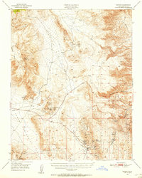
1950 · Darwin
USGS Topo · 1:62,500
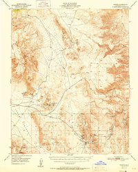
1951 · Darwin
USGS Topo · 1:62,500
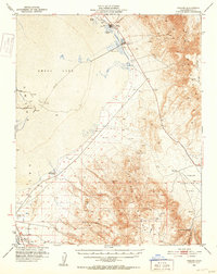
1951 · Keeler
USGS Topo · 1:62,500
1951 · Haiwee Reservoir
USGS Topo · 1:62,500
1951 · Coso Peak
USGS Topo · 1:62,500

1954 · Death Valley
USGS Topo · 1:250,000

1956 · Death Valley
USGS Topo · 1:250,000