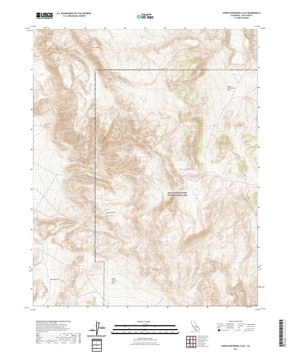
2021 Map of Upper Centennial Flat
USGS Topo · Published 2021About this map
Upper Centennial Flat and the surrounding high-desert terrain of the Coso Range dominate this recent topographic study. The landscape is defined by its arid geography, where critical water sources like Upper Centennial Spring and Upper Haiwee Spring appear as vital points of interest in a region otherwise characterized by expansive basins and sharp elevations. The map reveals a complex system of drainage and relief, including the steep descents of Centennial Canyon, Lacey Canyon, and Thorndyke Canyon, which cut through the uplifted peaks of Silver Mtn and Pinon Peak. This 2021 survey illustrates the modern configuration of Inyo County's high-altitude flats, such as McCloud Flat and Upper Cactus Flat, situated on the northern edge of the Mojave Desert. The presence of established township lines and sections provides a clear framework for researchers tracing land parcels or geological features across these prominent western landforms.
Find a feature on this map
19 named features on this map. Tap any name to fly to it.
Don’t see what you’re looking for? This feature index may not catch every label — zoom into the map to look around manually.
Map Details
Editions of this 2021 Upper Centennial Flat Map
This is the sole edition of this map. No revisions or reprints were ever made.
Other maps of this area

1908 · Ballarat
USGS Topo · 1:250,000

1913 · Ballarat
USGS Topo · 1:250,000

1948 · Death Valley
USGS Topo · 1:250,000

1950 · Darwin
USGS Topo · 1:62,500

1951 · Darwin
USGS Topo · 1:62,500

1951 · Keeler
USGS Topo · 1:62,500

1951 · Haiwee Reservoir
USGS Topo · 1:62,500

1951 · Coso Peak
USGS Topo · 1:62,500

1954 · Death Valley
USGS Topo · 1:250,000

1956 · Death Valley
USGS Topo · 1:250,000