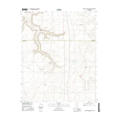
2017 Map of Upper Galestina Canyon
USGS Topo · Published 2017About this map
Upper Galestina Canyon dominates this arid landscape at the boundary between McKinley and Cibola Counties. The map reveals a complex drainage system where Galestina Canyon and Guillermo Canyon carve through the high desert terrain, eventually feeding into Trujillo Draw. This 2017 survey highlights the critical role of water management in this environment, featuring the Upper Galestina Number One A Reservoir and the Upper Galestina Number 7 Reservoir. Transportation in this remote area is defined by Bureau of Indian Affairs infrastructure, specifically Indian Svc Rte 13 and Indian Svc Rte 8, which provide the primary access through the township and range divisions. The absence of traditional townsites underscores the area's use for resource management and tribal transit rather than dense residential settlement.
Find a feature on this map
13 named features on this map. Tap any name to fly to it.
Don’t see what you’re looking for? This feature index may not catch every label — zoom into the map to look around manually.
Map Details
Editions of this 2017 Upper Galestina Canyon Map
This is the sole edition of this map. No revisions or reprints were ever made.
Other maps of this area
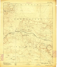
1886 · Wingate
USGS Topo · 1:250,000
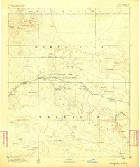
1892 · Wingate
USGS Topo · 1:250,000

1954 · Saint Johns
USGS Topo · 1:250,000

1954 · Gallup
USGS Topo · 1:250,000

1957 · Saint Johns
USGS Topo · 1:250,000
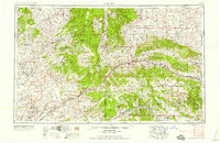
1958 · Gallup
USGS Topo · 1:250,000

1958 · Saint Johns
USGS Topo · 1:250,000
1959 · Gallup
USGS Topo · 1:250,000
1962 · Gallup
USGS Topo · 1:250,000

1962 · Saint Johns
USGS Topo · 1:250,000