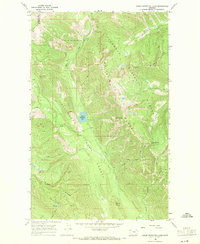
1966 Map of Upper Whitefish Lake
USGS Topo · Published 1971About this map
Upper Whitefish Lake sits at the center of this 1966 topographic study, marking a high-elevation point where the Whitefish Range and Coal Ridge converge. The terrain is defined by the administrative boundary between the Flathead National Forest and the Stillwater State Forest, reflecting the mid-century management of Montana's timber and recreational resources. A system of Pack Trails winds through the drainage basins of Swift Creek and Hay Creek, providing the primary access through the steep grades of Stryker Ridge and toward Haines Pass. Significant landmarks like Diamond Pk, Antice Point, and Antice Knob provide fixed reference points for researchers tracking land use and geographic naming conventions in this part of the northern Rockies. The map also captures the remote Mystery Lake and numerous alpine tributaries including Chicken Creek and Swede Creek.
Find a feature on this map
22 named features on this map. Tap any name to fly to it.
Don’t see what you’re looking for? This feature index may not catch every label — zoom into the map to look around manually.
Map Details
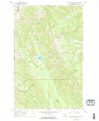
Editions of this 1966 Upper Whitefish Lake Map
2 editions found
Other maps of this area

1906 · Kintla Lakes
USGS Topo · 1:125,000

1913 · Stryker
USGS Topo · 1:125,000

1916 · Stryker
USGS Topo · 1:125,000

1938 · Kintla Lakes
USGS Topo · 1:125,000

1957 · Kalispell
USGS Topo · 1:250,000

1960 · Kalispell
USGS Topo · 1:250,000

1961 · Kalispell
USGS Topo · 1:250,000
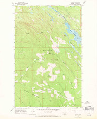
1966 · Radnor
USGS Topo · 1:24,000

1966 · Red Meadow Lake
USGS Topo · 1:24,000
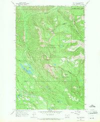
1966 · Bull Lake
USGS Topo · 1:24,000