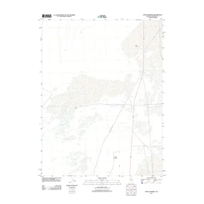
2011 Map of Upsal Hogback
USGS Topo · Published 2011About this map
The California Emigrant Trl cuts across this high desert landscape, tracing the historic movement of pioneers through Churchill County. This 2011 survey illustrates the continued relevance of this corridor, where modern infrastructure like highway 95 follows the general path of mid-19th-century travel. The volcanic terrain is defined by the Upsal Hogback, a prominent geological formation that rises above the surrounding basin.
Find a feature on this map
5 named features on this map. Tap any name to fly to it.
Don’t see what you’re looking for? This feature index may not catch every label — zoom into the map to look around manually.
Map Details
Editions of this 2011 Upsal Hogback Map
This is the sole edition of this map. No revisions or reprints were ever made.
Other maps of this area
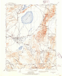
1908 · Carson Sink
USGS Topo · 1:250,000
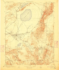
1910 · Carson Sink
USGS Topo · 1:250,000
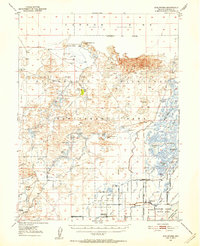
1950 · Stillwater
USGS Topo · 1:62,500
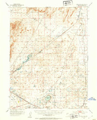
1951 · Soda Lake
USGS Topo · 1:62,500
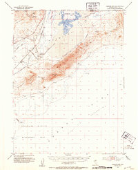
1951 · Carson Sink
USGS Topo · 1:62,500
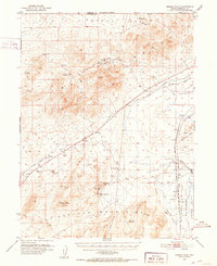
1951 · Desert Peak
USGS Topo · 1:62,500
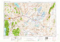
1957 · Reno
USGS Topo · 1:250,000
1959 · Reno
USGS Topo · 1:250,000
1960 · Reno
USGS Topo · 1:250,000
1979 · Carson Sink
USGS Topo · 1:100,000