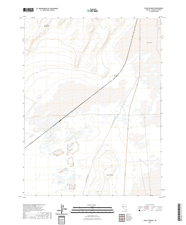
2021 Map of Upsal Hogback
USGS Topo · Published 2021About this map
The California Emigrant Trl cuts a historical path across this Churchill County landscape, tracing the movement of nineteenth-century travelers through the notoriously difficult Fortymile Desert. This segment of the trail navigates the stark transition between the Hot Springs Mountains in the northwest and the expansive alkali flats of the Carson Sink to the east. The terrain is punctuated by the Upsal Hogback, a distinct volcanic feature that rises above the surrounding desert floor. The map captures the intersection of ancient geological formations and the human tracks left by westward expansion, illustrating the geographic challenges faced by early emigrants as they bypassed waterless stretches of the Great Basin.
Find a feature on this map
11 named features on this map. Tap any name to fly to it.
Don’t see what you’re looking for? This feature index may not catch every label — zoom into the map to look around manually.
Map Details
Editions of this 2021 Upsal Hogback Map
This is the sole edition of this map. No revisions or reprints were ever made.
Other maps of this area

1908 · Carson Sink
USGS Topo · 1:250,000

1910 · Carson Sink
USGS Topo · 1:250,000

1950 · Stillwater
USGS Topo · 1:62,500

1951 · Soda Lake
USGS Topo · 1:62,500

1951 · Carson Sink
USGS Topo · 1:62,500

1951 · Desert Peak
USGS Topo · 1:62,500

1957 · Reno
USGS Topo · 1:250,000

1959 · Reno
USGS Topo · 1:250,000

1960 · Reno
USGS Topo · 1:250,000

1979 · Carson Sink
USGS Topo · 1:100,000