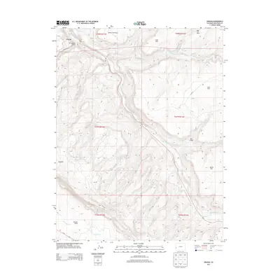
2013 Map of Uravan
USGS Topo · Published 2013About this map
The San Miguel River carves a deep path through this canyon landscape, where the settlement of Uravan sits at the northern edge of the map. This area is characterized by high, flat-topped features like Spring Creek Mesa and Wild Cow Mesa, separated by significant drainages such as Tabeguache Cr. The network of backroads, including Long Park Rd and AA18 Rd, provides access to remote locations like Long Park and the northeastern reaches of the Paradox Valley. These routes follow the natural contours of the mesas, avoiding the steep drops into Hieroglyphic Canyon and Box Canyon. Significant water sources in this arid environment are noted at Horsethief Spring and along E Paradox Cr, highlighting the essential landmarks for those navigating or surveying the high desert terrain of southwestern Colorado.
Find a feature on this map
28 named features on this map. Tap any name to fly to it.
Don’t see what you’re looking for? This feature index may not catch every label — zoom into the map to look around manually.
Map Details
Editions of this 2013 Uravan Map
This is the sole edition of this map. No revisions or reprints were ever made.
Other maps of this area
1916 · Paradox Valley
USGS Topo · 1:125,000
1922 · Paradox Valley
USGS Topo · 1:125,000
1948 · Bull Canyon
USGS Topo · 1:24,000

1948 · Uravan
USGS Topo · 1:24,000
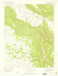
1948 · Naturita NW
USGS Topo · 1:24,000
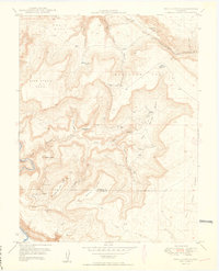
1949 · Bull Canyon
USGS Topo · 1:24,000
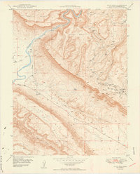
1949 · Davis Mesa
USGS Topo · 1:24,000
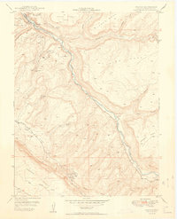
1949 · Uravan
USGS Topo · 1:24,000
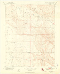
1949 · Naturita NW
USGS Topo · 1:24,000
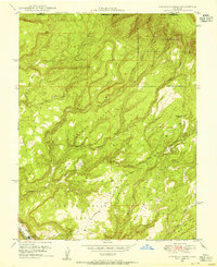
1949 · Atkinson Creek
USGS Topo · 1:24,000