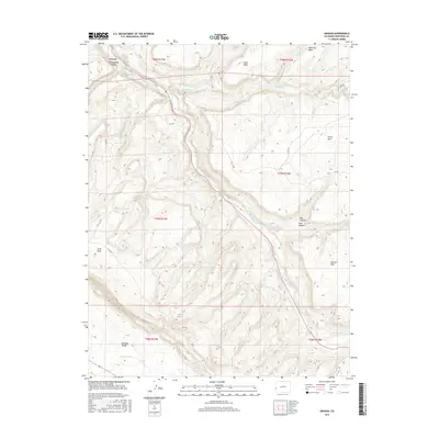
2016 Map of Uravan
USGS Topo · Published 2016About this map
The San Miguel River carves a deep path through this Montrose County landscape, defining the topography of the Uravan area. Historically significant for its uranium and vanadium industrial past, the settlement is positioned near the junction of major drainages including Tabeguache Cr and Spring Cr. The map reveals a complex system of plateaus and depressions, most notably the wide Paradox Valley to the south and the high elevations of Wild Cow Mesa and Long Mesa.
Find a feature on this map
28 named features on this map. Tap any name to fly to it.
Don’t see what you’re looking for? This feature index may not catch every label — zoom into the map to look around manually.
Map Details
Editions of this 2016 Uravan Map
This is the sole edition of this map. No revisions or reprints were ever made.
Other maps of this area
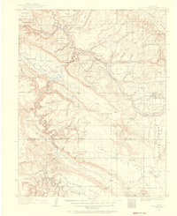
1916 · Paradox Valley
USGS Topo · 1:125,000
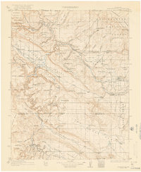
1922 · Paradox Valley
USGS Topo · 1:125,000
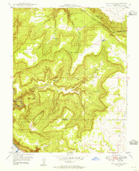
1948 · Bull Canyon
USGS Topo · 1:24,000

1948 · Uravan
USGS Topo · 1:24,000
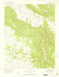
1948 · Naturita NW
USGS Topo · 1:24,000
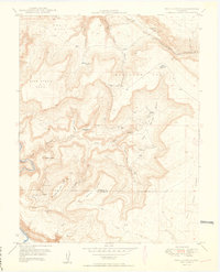
1949 · Bull Canyon
USGS Topo · 1:24,000
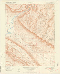
1949 · Davis Mesa
USGS Topo · 1:24,000
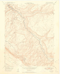
1949 · Uravan
USGS Topo · 1:24,000
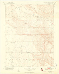
1949 · Naturita NW
USGS Topo · 1:24,000
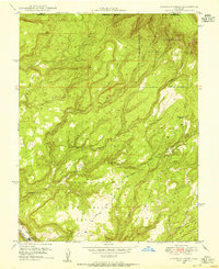
1949 · Atkinson Creek
USGS Topo · 1:24,000