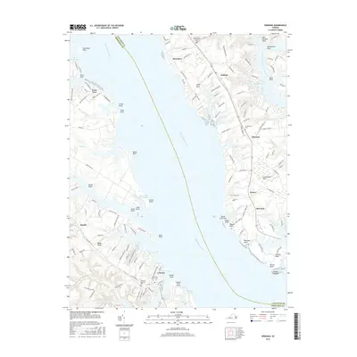
2016 Map of Urbanna
USGS Topo · Published 2016About this map
The Rappahannock River serves as the central artery of this coastal landscape, dividing Lancaster and Middlesex Counties. On the southern shore, the historic port of Urbanna is depicted with its dense residential grid and waterfront infrastructure, including the Middlesex Memorial Cem and Arthur Lee Family Cem. This area reveals a transition from the town center to more rural landscapes like Remlik and Pine Tree, where the terrain is punctuated by small bodies of water such as Glebe Pond and the extensive Dragon Bridge Swamp.
Find a feature on this map
152 named features on this map. Tap any name to fly to it.
Don’t see what you’re looking for? This feature index may not catch every label — zoom into the map to look around manually.
Map Details
Editions of this 2016 Urbanna Map
This is the sole edition of this map. No revisions or reprints were ever made.
Other maps of this area

1916 · Kilmarnock
USGS Topo · 1:48,000

1917 · Heathsville
USGS Topo · 1:48,000

1917 · Urbanna
USGS Topo · 1:62,500

1917 · Morattico
USGS Topo · 1:62,500

1917 · Kilmarnock
USGS Topo · 1:62,500

1918 · Morattico
USGS Topo · 1:62,500

1926 · Morattico
USGS Topo · 1:62,500

1942 · Kilmarnock
USGS Topo · 1:62,500

1943 · Richmond
USGS Topo · 1:250,000

1944 · Morattico
USGS Topo · 1:31,680