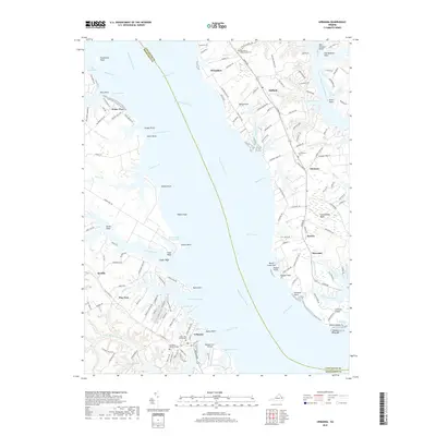
2019 Map of Urbanna
USGS Topo · Published 2019About this map
The Rappahannock River serves as the central divide of this coastal Virginia landscape, splitting the terrain between Lancaster Co and Middlesex Co. On the western bank, the town of Urbanna sits as a primary hub of settlement, flanked by the waters of Urbanna Creek and the historical site of Rosegill Lake. Genealogists and local historians can find significant landmarks nearby, including the Middlesex Memorial Cem and the Arthur Lee Family Cem.
Find a feature on this map
164 named features on this map. Tap any name to fly to it.
Don’t see what you’re looking for? This feature index may not catch every label — zoom into the map to look around manually.
Map Details
Editions of this 2019 Urbanna Map
This is the sole edition of this map. No revisions or reprints were ever made.
Other maps of this area

1916 · Kilmarnock
USGS Topo · 1:48,000

1917 · Heathsville
USGS Topo · 1:48,000

1917 · Urbanna
USGS Topo · 1:62,500

1917 · Morattico
USGS Topo · 1:62,500

1917 · Kilmarnock
USGS Topo · 1:62,500

1918 · Morattico
USGS Topo · 1:62,500

1926 · Morattico
USGS Topo · 1:62,500

1942 · Kilmarnock
USGS Topo · 1:62,500

1943 · Richmond
USGS Topo · 1:250,000

1944 · Morattico
USGS Topo · 1:31,680