Loading...
Loading map...2022 Map of Urbanna
USGS Topo · Published 2022About this map
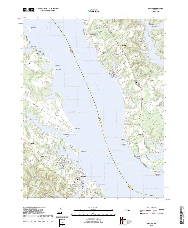
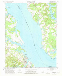
The Rappahannock River defines the landscape of this coastal survey, acting as the primary artery between Middlesex and Lancaster counties. The town of Urbanna sits as a significant hub on the southern shore, featuring localized landmarks such as the Arthur Lee Family Cem and the nearby Rosegill Farm Airstrip. Across the water, the geography of the Northern Neck is characterized by a series of points and necks, including Corrotoman Neck and the settlement of Monaskon.
Find a feature on this map
149 named features on this map. Tap any name to fly to it.
Don’t see what you’re looking for? This feature index may not catch every label — zoom into the map to look around manually.
Map Details
Date Portrayed2022
Date Published2022
PublisherU.S. Geological Survey
Map TypeTopographic
Scale1:24000
Physical Dimensions24 x 29 inches
Editions of this 2022 Urbanna Map
This is the sole edition of this map. No revisions or reprints were ever made.
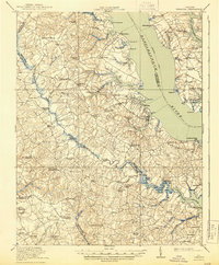
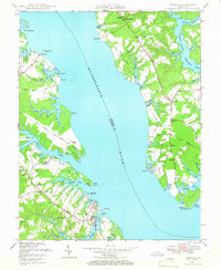
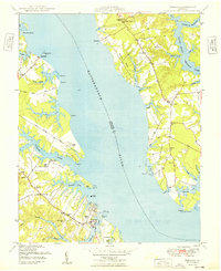
Historical Maps of Urbanna Through Time
5 maps found
Featured Locations
Source Details
SourceU.S. Geological Survey
CopyrightPublic Domain