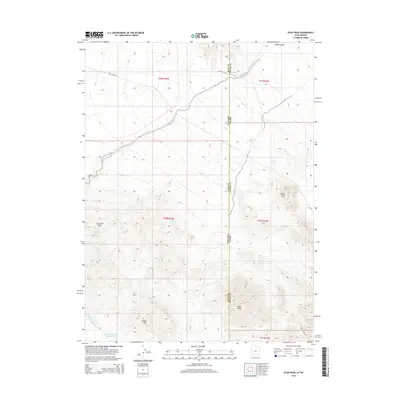
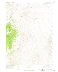
2014 Map of Utah Peak
USGS Topo · Published 2014About this map
Utah Peak anchors this high-desert landscape on the border of Utah and Nevada, where the state line bisects the high ground between Elko and Tooele counties. The terrain is defined by the arid drainages of Ferber Wash and the surrounding Ferber Hills, indicating a region shaped by intermittent water and sparse grazing or mining activity. A lonely industrial marker, Owl Hill Well Number 1, stands out in the western foothills, while Ferber Reservoir Number One provides a rare point of managed water in the south. The transition from the alluvial fans near Dead Cedar Rd to the prominent rise of Rocky Point illustrates the stark topography of the Great Basin. This survey records the remote infrastructure of the early 21st century, from the lonely reaches of Rocky Point Rd to the complex boundary intersections that define this interstate frontier.
Find a feature on this map
15 named features on this map. Tap any name to fly to it.
Don’t see what you’re looking for? This feature index may not catch every label — zoom into the map to look around manually.
Map Details
Editions of this 2014 Utah Peak Map
This is the sole edition of this map. No revisions or reprints were ever made.
Other maps of this area
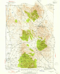
1925 · Gold Hill
USGS Topo · 1:62,500
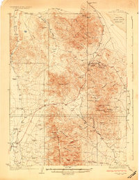
1928 · Gold Hill
USGS Topo · 1:62,500

1953 · Tooele
USGS Topo · 1:250,000

1955 · Tooele
USGS Topo · 1:250,000

1955 · Elko
USGS Topo · 1:250,000

1958 · Elko
USGS Topo · 1:250,000

1962 · Elko
USGS Topo · 1:250,000

1965 · Elko
USGS Topo · 1:250,000
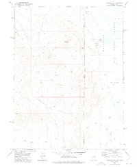
1972 · Ferguson Flat
USGS Topo · 1:24,000
1972 · White Horse Pass
USGS Topo · 1:24,000