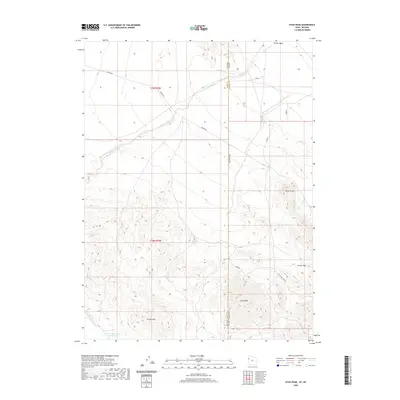
2020 Map of Utah Peak
USGS Topo · Published 2020About this map
Utah Peak dominates the high ground of the borderlands where Tooele County, Utah, meets Elko County, Nevada. This high-desert landscape is defined by the arid drainage systems of Ferber Wash and the prominent elevations of the Ferber Hills. The terrain is marked by a network of rural routes, including Ibapah Rd and Secondary Cave Rd, which navigate the varying elevations between the flats and the summits.
Find a feature on this map
11 named features on this map. Tap any name to fly to it.
Don’t see what you’re looking for? This feature index may not catch every label — zoom into the map to look around manually.
Map Details
Editions of this 2020 Utah Peak Map
This is the sole edition of this map. No revisions or reprints were ever made.
Other maps of this area

1925 · Gold Hill
USGS Topo · 1:62,500

1928 · Gold Hill
USGS Topo · 1:62,500

1953 · Tooele
USGS Topo · 1:250,000

1955 · Tooele
USGS Topo · 1:250,000

1955 · Elko
USGS Topo · 1:250,000

1958 · Elko
USGS Topo · 1:250,000

1962 · Elko
USGS Topo · 1:250,000

1965 · Elko
USGS Topo · 1:250,000

1972 · Ferguson Flat
USGS Topo · 1:24,000

1972 · White Horse Pass
USGS Topo · 1:24,000