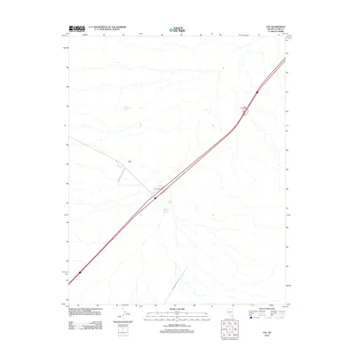
2012 Map of Ute
USGS Topo · Published 2012About this map
Ute sits at a critical junction in the desert landscape of Clark County, where modern infrastructure meets historical passage. The Interstate highway system dominates the corridor today, marked by the Ute Interchange and Byron Interchange, yet the presence of the Old Spanish Trail Rd hints at a much older tradition of travel across this arid basin. Water remains the primary shaper of the land, with California Wash Reservoir and Crystal Springs providing essential resources in an otherwise parched environment. To the north, Livingston Number Two Spring serves as a remote landmark, illustrating the sparse but vital network of water points that once dictated movement through this region of southern Nevada. The geography here is a study in how transport routes adapt to the terrain over centuries.
Find a feature on this map
7 named features on this map. Tap any name to fly to it.
Don’t see what you’re looking for? This feature index may not catch every label — zoom into the map to look around manually.
Map Details
Editions of this 2012 Ute Map
This is the sole edition of this map. No revisions or reprints were ever made.
Other maps of this area
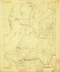
1886 · Saint Thomas
USGS Topo · 1:250,000
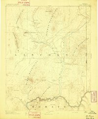
1893 · Saint Thomas
USGS Topo · 1:250,000
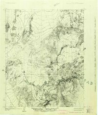
1926 · Boulder Canyon
USGS Topo · 1:96,000
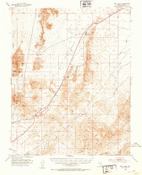
1952 · Dry Lake
USGS Topo · 1:62,500
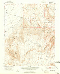
1953 · Muddy Peak
USGS Topo · 1:62,500
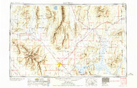
1954 · Las Vegas
USGS Topo · 1:250,000
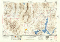
1957 · Las Vegas
USGS Topo · 1:250,000
1958 · Arrow Canyon
USGS Topo · 1:62,500
1958 · Moapa
USGS Topo · 1:62,500
1959 · Las Vegas
USGS Topo · 1:250,000