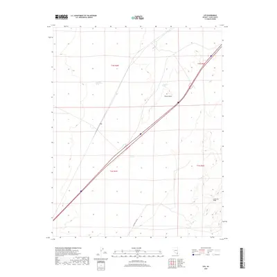
2018 Map of Ute
USGS Topo · Published 2018About this map
Old Spanish Trail Rd cuts across the southern portion of this landscape, marking a modern path along a historic corridor through the Mojave Desert. The map centers on the small siding of Ute, situated along the interstate and rail lines that now dominate this desert basin. Water sources are critical landmarks in this arid environment, represented by Livingston Number Two Spring and Crystal Springs, which appear near the base of the rising topography. To the east, the elevation increases toward the California Ridge, while the drainage of the California Wash snakes through the central valley. The grid lines of the Public Land Survey System, including t15s r65e and t16s r65e, provide a structured overlay to the otherwise sparse desert terrain, illustrating how late 20th-century mapping organized this expanse of Clark County.
Find a feature on this map
12 named features on this map. Tap any name to fly to it.
Don’t see what you’re looking for? This feature index may not catch every label — zoom into the map to look around manually.
Map Details
Editions of this 2018 Ute Map
This is the sole edition of this map. No revisions or reprints were ever made.
Other maps of this area
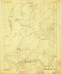
1886 · Saint Thomas
USGS Topo · 1:250,000
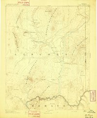
1893 · Saint Thomas
USGS Topo · 1:250,000
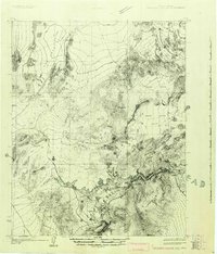
1926 · Boulder Canyon
USGS Topo · 1:96,000
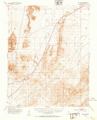
1952 · Dry Lake
USGS Topo · 1:62,500
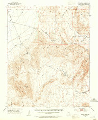
1953 · Muddy Peak
USGS Topo · 1:62,500
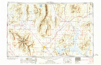
1954 · Las Vegas
USGS Topo · 1:250,000
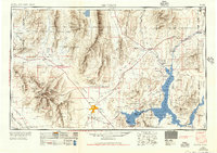
1957 · Las Vegas
USGS Topo · 1:250,000
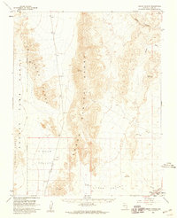
1958 · Arrow Canyon
USGS Topo · 1:62,500
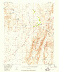
1958 · Moapa
USGS Topo · 1:62,500
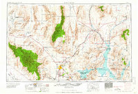
1959 · Las Vegas
USGS Topo · 1:250,000