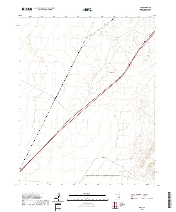
2021 Map of Ute
USGS Topo · Published 2021About this map
The arid topography of the Mojave Desert defines this quadrangle in Clark County, where the settlement of Ute sits as a primary marker on the landscape. This terrain is characterized by sparse water sources and sharp geological transitions, with the California Wash cutting through the central basin and the elevated terrain of California Ridge rising to the southeast. Isolated springs provide the only hydrological breaks in this environment, including the Livingston Number Two Spring in the northern sections and Crystal Springs further south.
Find a feature on this map
10 named features on this map. Tap any name to fly to it.
Don’t see what you’re looking for? This feature index may not catch every label — zoom into the map to look around manually.
Map Details
Editions of this 2021 Ute Map
This is the sole edition of this map. No revisions or reprints were ever made.
Other maps of this area

1886 · Saint Thomas
USGS Topo · 1:250,000

1893 · Saint Thomas
USGS Topo · 1:250,000

1926 · Boulder Canyon
USGS Topo · 1:96,000

1952 · Dry Lake
USGS Topo · 1:62,500

1953 · Muddy Peak
USGS Topo · 1:62,500

1954 · Las Vegas
USGS Topo · 1:250,000

1957 · Las Vegas
USGS Topo · 1:250,000

1958 · Arrow Canyon
USGS Topo · 1:62,500

1958 · Moapa
USGS Topo · 1:62,500

1959 · Las Vegas
USGS Topo · 1:250,000