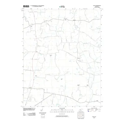
2010 Map of Utica
USGS Topo · Published 2010About this map
Utica and the surrounding agricultural landscape of McLean and Daviess Counties are defined by a network of rural routes and waterway branches feeding the Rough River. This 2010 survey documents the enduring settlement patterns around Livia, Nuckols, and Maxwell, where local landmarks like the Atherton Cemetery and Barrett Hill provide clear points of reference for genealogical research. The terrain is marked by distinct features such as Backbone Ridge and Tucker Hollow, which shape the drainage for Buck Creek and Barnett Creek.
Find a feature on this map
59 named features on this map. Tap any name to fly to it.
Don’t see what you’re looking for? This feature index may not catch every label — zoom into the map to look around manually.
Map Details
Editions of this 2010 Utica Map
This is the sole edition of this map. No revisions or reprints were ever made.
Other maps of this area

1906 · Sutherland
USGS Topo · 1:62,500

1907 · Whitesville
USGS Topo · 1:62,500

1909 · Whitesville
USGS Topo · 1:62,500

1909 · Hartford
USGS Topo · 1:62,500

1909 · Central City
USGS Topo · 1:62,500

1952 · Equality
USGS Topo · 1:24,000

1952 · Livermore
USGS Topo · 1:24,000

1953 · Philpot
USGS Topo · 1:24,000

1953 · Sutherland
USGS Topo · 1:24,000

1953 · Utica
USGS Topo · 1:24,000