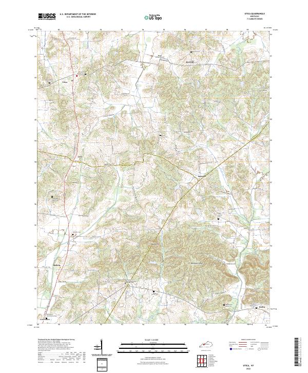
2022 Map of Utica
USGS Topo · Published 2022About this map
Utica and the surrounding rural communities of Livia, Maxwell, and Nuckols anchor this landscape along the borders of Daviess, McLean, and Ohio counties. The terrain is defined by a dense network of small watercourses such as Buck Cr and Stillhouse Br that carve through the hills towards the Rough River at the southern edge. This area is notably dense with family-named burial sites and historic congregations, including the Utica Baptist Church and the Pleasant Hill United Methodist Church.
Find a feature on this map
86 named features on this map. Tap any name to fly to it.
Don’t see what you’re looking for? This feature index may not catch every label — zoom into the map to look around manually.
Map Details
Editions of this 2022 Utica Map
This is the sole edition of this map. No revisions or reprints were ever made.
Other maps of this area

1906 · Sutherland
USGS Topo · 1:62,500

1907 · Whitesville
USGS Topo · 1:62,500

1909 · Whitesville
USGS Topo · 1:62,500

1909 · Hartford
USGS Topo · 1:62,500

1909 · Central City
USGS Topo · 1:62,500

1952 · Equality
USGS Topo · 1:24,000

1952 · Livermore
USGS Topo · 1:24,000

1953 · Philpot
USGS Topo · 1:24,000

1953 · Sutherland
USGS Topo · 1:24,000

1953 · Utica
USGS Topo · 1:24,000