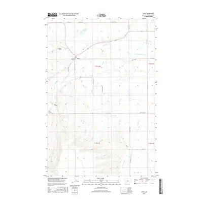
2017 Map of Utica
USGS Topo · Published 2017About this map
Utica sits at a critical junction of waterways and roads in the heart of the Judith Basin, where the Judith River meets the drainages of Heiserman Coulee and Courtneys Cr. The landscape is defined by its dramatic coulees—steep-walled drainage valleys including Coal Bank Coulee, Ellis Coulee, and Big Coulee—which provide a clear view of the natural erosional patterns of central Montana. A short distance south of the settlement, the Utica Cem serves as a key landmark for genealogists and local historians tracing the families who settled this ranching country.
Find a feature on this map
29 named features on this map. Tap any name to fly to it.
Don’t see what you’re looking for? This feature index may not catch every label — zoom into the map to look around manually.
Map Details
Editions of this 2017 Utica Map
This is the sole edition of this map. No revisions or reprints were ever made.
Other maps of this area
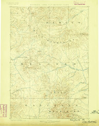
1886 · Little Belt Mts.
USGS Topo · 1:250,000
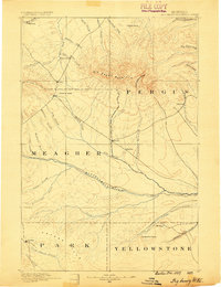
1889 · Big Snowy Mountain
USGS Topo · 1:250,000
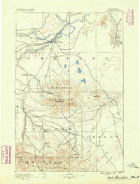
1890 · Fort Benton
USGS Topo · 1:250,000
1892 · Fort Benton
USGS Topo · 1:250,000
1893 · Big Snowy Mountain
USGS Topo · 1:250,000
1894 · Little Belt Mts.
USGS Topo · 1:250,000
1897 · Fort Benton
USGS Topo · 1:250,000
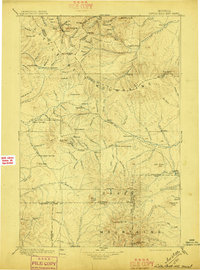
1897 · Little Belt Mts.
USGS Topo · 1:250,000
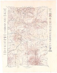
1898 · Little Belt Mts.
USGS Topo · 1:250,000
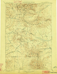
1902 · Little Belt Mts.
USGS Topo · 1:250,000