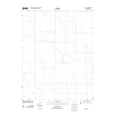
2012 Map of Utica SE
USGS Topo · Published 2012About this map
Prairie Chapel Cem serves as a lone landmark in this portion of Ness County, where the high plains landscape is defined by the drainage networks of Forrester Cr and the N Fork Walnut Cr. The area’s economic character is clearly marked by the petroleum industry, with several established production areas including the Aldrich Oil Field, Aldrich Northeast Oil Field, and the Dickman Oil Field spanning the central and eastern sections. This 2012 survey illustrates the grid-like road system typical of the region, punctuated by these concentrated pockets of natural resource extraction and the winding paths of the N Fork Forrester Cr.
Find a feature on this map
7 named features on this map. Tap any name to fly to it.
Don’t see what you’re looking for? This feature index may not catch every label — zoom into the map to look around manually.
Map Details
Editions of this 2012 Utica SE Map
This is the sole edition of this map. No revisions or reprints were ever made.
Other maps of this area

1892 · Ness
USGS Topo · 1:125,000

1893 · Ellis
USGS Topo · 1:125,000

1894 · Ness
USGS Topo · 1:125,000

1955 · Great Bend
USGS Topo · 1:250,000

1955 · Scott City
USGS Topo · 1:250,000

1957 · Great Bend
USGS Topo · 1:250,000

1958 · Great Bend
USGS Topo · 1:250,000

1958 · Scott City
USGS Topo · 1:250,000

1965 · Beeler
USGS Topo · 1:24,000

1965 · Utica SW
USGS Topo · 1:24,000