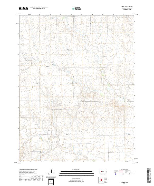
2022 Map of Utica SE
USGS Topo · Published 2022About this map
Prairie Chapel Cem serves as a central landmark in this portion of Ness County, where the landscape is defined by the winding paths of several intermittent waterways. The topography is shaped by the drainage systems of Forrester Cr, the N Fork Forrester Cr, and the N Fork Walnut Cr at the southern end. This 2022 survey illustrates the grid-based land division system common in the Great Plains, where an extensive network of rural roads including 250 RD, W 220 RD, and 180 RD provides access to remote agricultural sections. The absence of major settlements reflects the area's continued reliance on ranching and farming, with most human markers consisting of the section lines and the small cemeteries that served the original homesteading families.
Find a feature on this map
19 named features on this map. Tap any name to fly to it.
Don’t see what you’re looking for? This feature index may not catch every label — zoom into the map to look around manually.
Map Details
Editions of this 2022 Utica SE Map
This is the sole edition of this map. No revisions or reprints were ever made.
Other maps of this area

1892 · Ness
USGS Topo · 1:125,000

1893 · Ellis
USGS Topo · 1:125,000

1894 · Ness
USGS Topo · 1:125,000

1955 · Great Bend
USGS Topo · 1:250,000

1955 · Scott City
USGS Topo · 1:250,000

1957 · Great Bend
USGS Topo · 1:250,000

1958 · Great Bend
USGS Topo · 1:250,000

1958 · Scott City
USGS Topo · 1:250,000

1965 · Beeler
USGS Topo · 1:24,000

1965 · Utica SW
USGS Topo · 1:24,000