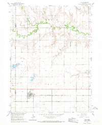
2021 Map of Utica
USGS Topo · Published 2021About this map
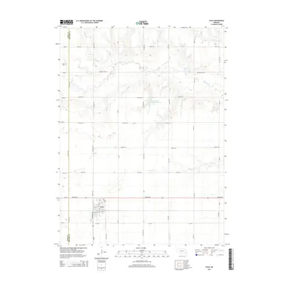
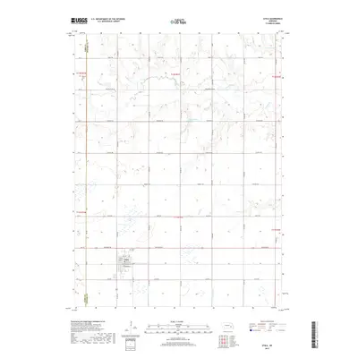
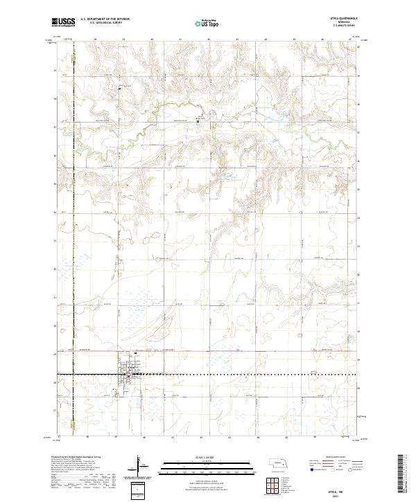
The village of Utica serves as the focal point for this section of eastern Nebraska, where the grid of the Public Land Survey System meets a landscape carved by winding waterways. Situated along the boundary of York and Seward Counties, the area is defined by its agricultural layout, with roads like McKelvie Rd and Alvo Rd framing the sections. Water management and natural drainage are evident through features such as the Langenheim-Brackham Reservoir, North Lake, and Freeman Lake, which interrupt the productive fields. For genealogists and local historians, several burial sites provide important links to the region's past, including Utica Cem, Dry Creek Cem, and Blue Ridge Cem. Numerous creeks, including Lincoln Cr, Wildcat Cr, and Brush Cr, meander through the landscape, indicating the natural drainage patterns that have influenced settlement and land use in this Seward County quadrangle.
Find a feature on this map
49 named features on this map. Tap any name to fly to it.
Don’t see what you’re looking for? This feature index may not catch every label — zoom into the map to look around manually.
Map Details
Editions of this 2021 Utica Map
This is the sole edition of this map. No revisions or reprints were ever made.
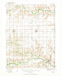
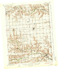
Historical Maps of Utica Through Time
7 maps found