
1943 Map of Utuado NE
USGS Topo · Published 1943About this map
Lago Dos Bocas dominates the southern landscape of this 1943 preliminary study, where the waters meet the junction of the Municipio de Arecibo and the Municipio de Utuado. The terrain is defined by the winding course of the Rio Grande de Arecibo, which carves through the interior highlands of Puerto Rico during a period of significant hydroelectric development. The map provides a focused look at the rural infrastructure of the early 1940s, documenting local education hubs such as Escuela Morales and Escuela Del Valle tucked into the hills. Along with topographical landmarks like Los Muertos, the survey captures the intricate network of valley slopes and ridges that characterized the region before later mid-century expansions, serving as a primary record of land use and settlement patterns in the Arecibo interior.
Find a feature on this map
7 named features on this map. Tap any name to fly to it.
Don’t see what you’re looking for? This feature index may not catch every label — zoom into the map to look around manually.
Map Details
Editions of this 1943 Utuado NE Map
This is the sole edition of this map. No revisions or reprints were ever made.
Other maps of this area

1942 · Arecibo
USGS Topo · 1:30,000

1942 · Barceloneta
USGS Topo · 1:30,000

1946 · Barceloneta
USGS Topo · 1:30,000

1946 · Utuado
USGS Topo · 1:30,000

1946 · Arecibo
USGS Topo · 1:30,000

1946 · Florida
USGS Topo · 1:30,000
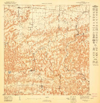
1947 · Barceloneta SO
USGS Topo · 1:10,000
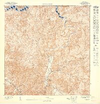
1947 · Utuado SE
USGS Topo · 1:10,000
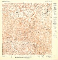
1947 · Florida NO
USGS Topo · 1:10,000
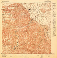
1947 · Arecibo SO
USGS Topo · 1:10,000