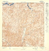
1947 Map of Utuado SE
USGS Topo · Published 1947About this map
Lago Dos Bocas dominates the northern reaches of this 1943 topography, where the rising waters of the reservoir meet the steep interior valleys of central Puerto Rico. The landscape is defined by the sharp ridgeline of Cuchilla Buena Vista and the winding course of the Río Caonillas, which carves through a region characterized by traditional agricultural estates and rural educational centers.
Find a feature on this map
9 named features on this map. Tap any name to fly to it.
Don’t see what you’re looking for? This feature index may not catch every label — zoom into the map to look around manually.
Map Details
Editions of this 1947 Utuado SE Map
This is the sole edition of this map. No revisions or reprints were ever made.
Other maps of this area

1943 · Utuado NE
USGS Topo · 1:10,000

1946 · Utuado
USGS Topo · 1:30,000

1946 · Jayuya
USGS Topo · 1:30,000

1946 · Florida
USGS Topo · 1:30,000

1946 · Adjuntas
USGS Topo · 1:30,000
1947 · Adjuntas NO
USGS Topo · 1:10,000
1947 · Florida NO
USGS Topo · 1:10,000
1947 · Utuado SO
USGS Topo · 1:10,000
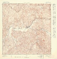
1947 · Jayuya NO
USGS Topo · 1:10,000
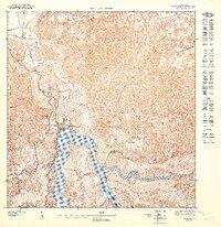
1947 · Utuado NE
USGS Topo · 1:10,000