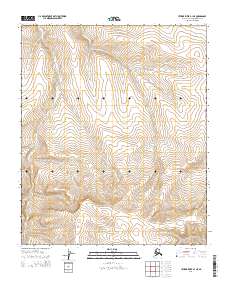
2014 Map of Utukok River B-1 NE
USGS Topo · Published 2014About this map
Township and range lines define this remote section of the North Slope, where the land is primarily organized by the Public Land Survey System. The map covers the intersection of several survey areas, including T1n R30w, T1n R29w, and T2n R30w. Produced in cooperation with the Alaska Dept. of Transportation and the BLM, the survey emphasizes the topographic character of this undeveloped wilderness. While devoid of named settlements or schools, the contour lines reveal the complex drainage patterns and elevation changes typical of the Utukok River basin. The grid system, including T1s R30w and T1s R31w, provides the essential framework for land management and resource exploration in this isolated Arctic environment.
Find a feature on this map
7 named features on this map. Tap any name to fly to it.
Don’t see what you’re looking for? This feature index may not catch every label — zoom into the map to look around manually.
Map Details
Editions of this 2014 Utukok River B-1 NE Map
This is the sole edition of this map. No revisions or reprints were ever made.
Other maps of this area

1951 · Utukok River
USGS Topo · 1:250,000

1951 · Lookout Ridge
USGS Topo · 1:250,000

1956 · Lookout Ridge
USGS Topo · 1:250,000

1956 · Utukok River
USGS Topo · 1:250,000

1965 · Utukok River
USGS Topo · 1:250,000
1984 · Lookout Ridge C-5
USGS Topo · 1:63,360
1984 · Utukok River C-1
USGS Topo · 1:63,360
1985 · Lookout Ridge B-5
USGS Topo · 1:63,360
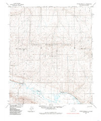
1985 · Utukok River B-1
USGS Topo · 1:63,360
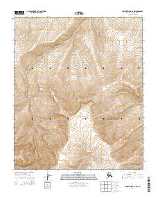
2014 · Lookout Ridge B-5 NW
USGS Topo · 1:25,000