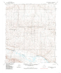
1985 Map of Utukok River B-1
USGS Topo · Published 1985About this map
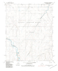
Carbon Creek meanders across this northern landscape, which was part of the National Petroleum Reserve in Alaska during the mid-1980s. The survey captures a region defined by its utility and seasonal access rather than permanent settlements. Transport through the terrain is marked by a series of specialized routes, including a Tractor Trail and a Winter Trail, reflecting the necessity of moving equipment and supplies over delicate or frozen ground. The cartography is organized around the primary Base Line, dividing the townships and ranges of the Umiat Meridian. This map provides a look at the logistical infrastructure of the North Slope Borough, where the preservation of oil resources met the practical challenges of Arctic geography.
Find a feature on this map
11 named features on this map. Tap any name to fly to it.
Don’t see what you’re looking for? This feature index may not catch every label — zoom into the map to look around manually.
Map Details
Editions of this 1985 Utukok River B-1 Map
This is the sole edition of this map. No revisions or reprints were ever made.
Other maps of this area

1951 · Utukok River
USGS Topo · 1:250,000

1951 · Lookout Ridge
USGS Topo · 1:250,000

1956 · Lookout Ridge
USGS Topo · 1:250,000

1956 · Utukok River
USGS Topo · 1:250,000

1965 · Utukok River
USGS Topo · 1:250,000
1984 · Utukok River A-2
USGS Topo · 1:63,360
1984 · Lookout Ridge C-5
USGS Topo · 1:63,360
1984 · Utukok River C-1
USGS Topo · 1:63,360
1984 · Utukok River C-2
USGS Topo · 1:63,360
1984 · Utukok River A-1
USGS Topo · 1:63,360