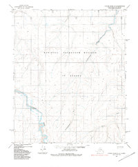
1984 Map of Utukok River C-2
USGS Topo · Published 1985About this map
The Utukok River meanders through this remote portion of the National Petroleum Reserve in Alaska, defining the drainage patterns of the North Slope. This mid-1980s topographical record captures a landscape primarily shaped by water, where the Omikmuktusuk River and Ketik River join the larger hydrological network of the Arctic coastal plain. While the region is characterized by its isolation, the presence of a Tractor Trail cutting across the terrain indicates the essential, seasonal transportation routes used for resource exploration and transit in the far north. Small, isolated location markers such as Deam and Gist provide specific points of reference for researchers and surveyors working within the reserve's expansive boundaries.
Find a feature on this map
10 named features on this map. Tap any name to fly to it.
Don’t see what you’re looking for? This feature index may not catch every label — zoom into the map to look around manually.
Map Details
Editions of this 1984 Utukok River C-2 Map
This is the sole edition of this map. No revisions or reprints were ever made.
Other maps of this area

1951 · Utukok River
USGS Topo · 1:250,000
1955 · Utukok River C-3
USGS Topo · 1:63,360
1955 · Utukok River D-3
USGS Topo · 1:63,360
1955 · Utukok River B-3
USGS Topo · 1:63,360

1956 · Utukok River
USGS Topo · 1:250,000

1965 · Utukok River
USGS Topo · 1:250,000
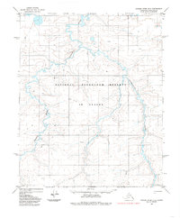
1984 · Utukok River D-2
USGS Topo · 1:63,360
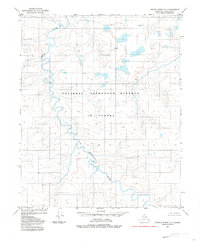
1984 · Utukok River D-1
USGS Topo · 1:63,360
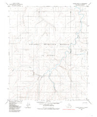
1984 · Utukok River C-1
USGS Topo · 1:63,360
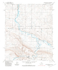
1985 · Utukok River B-2
USGS Topo · 1:63,360