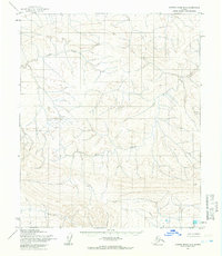
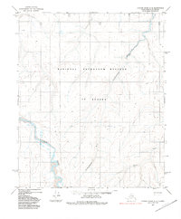
1955 Map of Utukok River B-3
USGS Topo · Published 1966About this map
Avingak Creek and the meandering reaches of Elusive Creek dominate this mid-century topographic study of the North Slope. Captured during a 1955 survey by the Army Map Service, the landscape is defined by its drainage patterns and isolated peaks, including Omicron Hill in the northeast and Sun in the southwest. The entire region is part of the Naval Petroleum Reserve No. 4, a designation that shaped the mapping and management of this Arctic territory during the Cold War era. Survey markers like Tike, Nort, and Etu provide specific points of reference across a terrain lacking any roads or permanent settlements at the time of the field annotation.
Find a feature on this map
7 named features on this map. Tap any name to fly to it.
Don’t see what you’re looking for? This feature index may not catch every label — zoom into the map to look around manually.
Map Details
Editions of this 1955 Utukok River B-3 Map
2 editions found
Other maps of this area

1951 · Utukok River
USGS Topo · 1:250,000
1955 · Utukok River C-3
USGS Topo · 1:63,360
1955 · Utukok River A-4
USGS Topo · 1:63,360
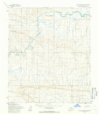
1955 · Utukok River A-3
USGS Topo · 1:63,360
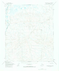
1955 · Utukok River B-4
USGS Topo · 1:63,360
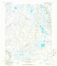
1955 · Utukok River C-4
USGS Topo · 1:63,360

1956 · Utukok River
USGS Topo · 1:250,000

1965 · Utukok River
USGS Topo · 1:250,000
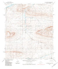
1984 · Utukok River A-2
USGS Topo · 1:63,360
1984 · Utukok River C-2
USGS Topo · 1:63,360