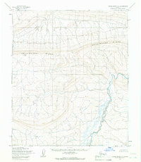
1955 Map of Utukok River A-4
USGS Topo · Published 1966About this map
Archimedes Ridge dominates the northern landscape of this arctic survey, which captures a wilderness environment within the Naval Petroleum Reserve No. 4. This 1955 photogrammetric mapping reflects the era when the Utukok River and its surrounding drainage basins were primarily viewed through the lens of federal resource management and geological potential. The terrain is characterized by intricate drainage patterns and significant elevation shifts, providing a clear record of the watershed's morphology before modern environmental shifts. As part of a larger mapping effort by the Army Map Service and the U.S. Geological Survey, this sheet documents a region devoid of roads or permanent structures, highlighting the isolation and untouched character of the North Slope at mid-century.
Find a feature on this map
3 named features on this map. Tap any name to fly to it.
Don’t see what you’re looking for? This feature index may not catch every label — zoom into the map to look around manually.
Map Details
Editions of this 1955 Utukok River A-4 Map
2 editions found
Other maps of this area

1951 · Utukok River
USGS Topo · 1:250,000

1951 · Misheguk Mountain
USGS Topo · 1:250,000
1955 · Utukok River A-5
USGS Topo · 1:63,360
1955 · Utukok River A-3
USGS Topo · 1:63,360
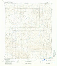
1955 · Utukok River B-3
USGS Topo · 1:63,360
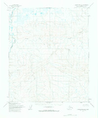
1955 · Utukok River B-4
USGS Topo · 1:63,360
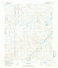
1955 · Utukok River B-5
USGS Topo · 1:63,360

1956 · Misheguk Mountain
USGS Topo · 1:250,000

1956 · Utukok River
USGS Topo · 1:250,000

1965 · Utukok River
USGS Topo · 1:250,000