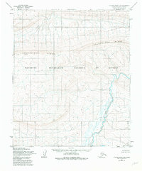
1955 Map of Utukok River A-4
USGS Topo · Published 1982About this map
The Utukok River meanders through the eastern portion of this 1955 survey, cutting through a landscape dominated by the expansive Archimedes Ridge and the National Petroleum Reserve in Alaska. This portion of the North Slope reflects the era's focus on surveying remote territories for resource potential, as indicated by the federal designation. The terrain is marked by significant topographical relief, with the ridge line serving as a major natural landmark north of the Brooks Range foothills. Researchers studying the Arctic landscape will find a detailed representation of the drainage patterns and upland areas that defined this wilderness before more intensive modern exploration. The map captures a moment when large tracts of the Alaskan interior remained mostly unsurveyed on the ground, relying instead on 1950s aerial photogrammetry.
Find a feature on this map
9 named features on this map. Tap any name to fly to it.
Don’t see what you’re looking for? This feature index may not catch every label — zoom into the map to look around manually.
Map Details
Editions of this 1955 Utukok River A-4 Map
2 editions found
Other maps of this area

1951 · Utukok River
USGS Topo · 1:250,000

1951 · Misheguk Mountain
USGS Topo · 1:250,000
1955 · Utukok River A-5
USGS Topo · 1:63,360
1955 · Utukok River A-4
USGS Topo · 1:63,360
1955 · Utukok River A-3
USGS Topo · 1:63,360
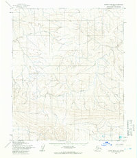
1955 · Utukok River B-3
USGS Topo · 1:63,360
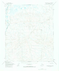
1955 · Utukok River B-4
USGS Topo · 1:63,360
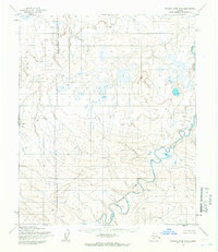
1955 · Utukok River B-5
USGS Topo · 1:63,360

1956 · Misheguk Mountain
USGS Topo · 1:250,000

1956 · Utukok River
USGS Topo · 1:250,000