
1956 Map of Misheguk Mountain
USGS Topo · Published 1962About this map
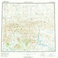
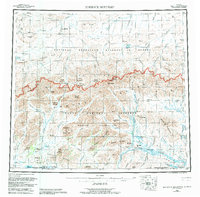
The Brooks Range and De Long Mountains dominate this 1950s survey of the Alaskan Arctic, depicting a wilderness landscape defined by high peaks and strategic mountain passes. Centered on the massif of Misheguk Mountain, the map details a remote interior where the only evidence of human presence is a solitary Cabin near Noluck Lake and a Winter Trail tracking north toward the Naval Petroleum Reserve.
Find a feature on this map
123 named features on this map. Tap any name to fly to it.
Don’t see what you’re looking for? This feature index may not catch every label — zoom into the map to look around manually.
Map Details
Editions of this 1956 Misheguk Mountain Map
7 editions found
Other maps of this area

1951 · De Long Mountains
USGS Topo · 1:250,000

1951 · Baird Mountains
USGS Topo · 1:250,000

1951 · Utukok River
USGS Topo · 1:250,000

1951 · Noatak
USGS Topo · 1:250,000

1951 · Lookout Ridge
USGS Topo · 1:250,000

1951 · Point Lay
USGS Topo · 1:250,000

1951 · Howard Pass
USGS Topo · 1:250,000

1951 · Ambler River
USGS Topo · 1:250,000

1951 · Misheguk Mountain
USGS Topo · 1:250,000

1955 · Noatak
USGS Topo · 1:250,000