
1955 Map of Noatak
USGS Topo · Published 1962About this map
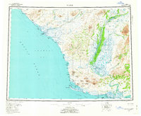
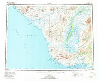
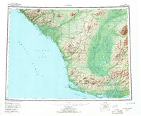
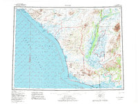
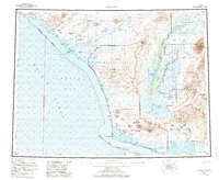
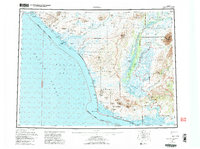
The Noatak River dominates this mid-century coastal survey, carving a wide valley through the Baird Mountains and Igichuk Hills before reaching the Kotzebue Sound. This subarctic landscape is defined by the transition from the high peaks of Maiyumerak Mountains and Tahmishok Mountains to the expansive lagoon systems along the Chukchi Sea. Small coastal settlements like Kivalina and inland points such as Noatak are connected by the primitive Winter Trail, reflecting the seasonal movement patterns essential to this region. Large water bodies such as Imik Lagoon and Krusenstern Lagoon line the coast, protected by long gravel bars and points like Cape Krusenstern. The map provides a clear look at the intricate drainage patterns of the Wulik River and Kivalina River, highlighting the remote and water-bound nature of the Northwest Arctic.
Find a feature on this map
62 named features on this map. Tap any name to fly to it.
Don’t see what you’re looking for? This feature index may not catch every label — zoom into the map to look around manually.
Map Details
Editions of this 1955 Noatak Map
7 editions found
Other maps of this area

1950 · Shishmaref
USGS Topo · 1:250,000

1951 · De Long Mountains
USGS Topo · 1:250,000

1951 · Baird Mountains
USGS Topo · 1:250,000

1951 · Selawik
USGS Topo · 1:250,000

1951 · Shishmaref
USGS Topo · 1:250,000

1951 · Noatak
USGS Topo · 1:250,000

1951 · Kotzebue
USGS Topo · 1:250,000

1951 · Misheguk Mountain
USGS Topo · 1:250,000

1951 · Kotzebue D-1
USGS Topo · 1:63,360

1951 · Kotzebue D-2
USGS Topo · 1:63,360